Hike to Swiss suspension bridge is worth the effort
The Swiss Alps are known for their spectacular suspension bridges. More than a dozen are sprinkled across the rugged landscape that makes Switzerland a hiker’s paradise.
I definitely wanted to include a hike to a suspension bridge on my first trip to the Alps. The one that caught my eye was the Charles Kuonen bridge a few miles north of Tasch in the Zermatt region of Switzerland.
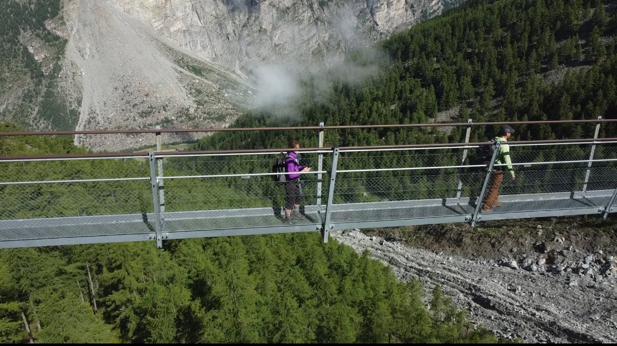
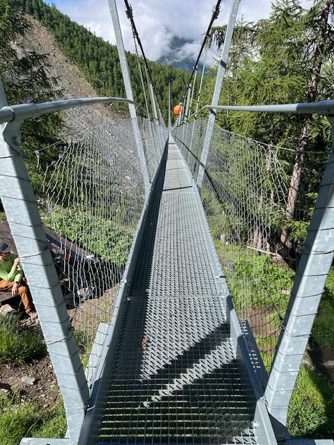
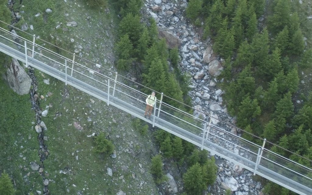
Built in 2017 and spanning 1,621 feet – almost a third of a mile – it’s Switzerland’s second-longest suspension bridge. The steel structure is suspended 275 feet above a ravine in the Mattertal Valley. Those with gephyrophobia, the fear of bridges, be warned! This one would scare just about anybody.
Parkinson’s hiking tip
Should someone with Parkinson’s disease hike in the Swiss Alps? Only you and your doctor can answer that. For an overview of my experience in the Alps, check out this post. It may help you decide whether you should pursue a Swiss hiking trip in general, and a hike like this one in particular.
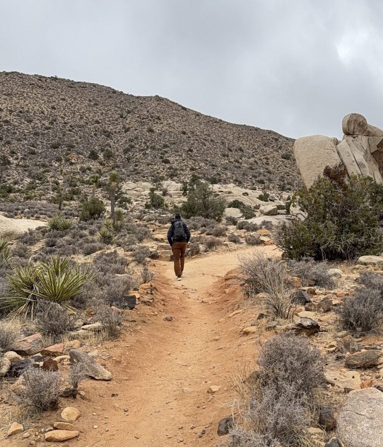
The Unshakable Husband and I knew it would be no simple walk in the woods to reach the bridge. The 4.8-mile loop has an elevation gain of 2,400 feet. For that I gave the trail a rating of difficult. (Jump to hike stats.)
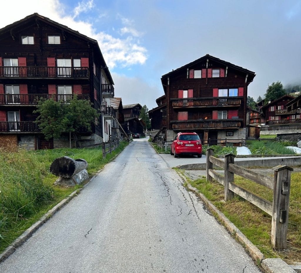
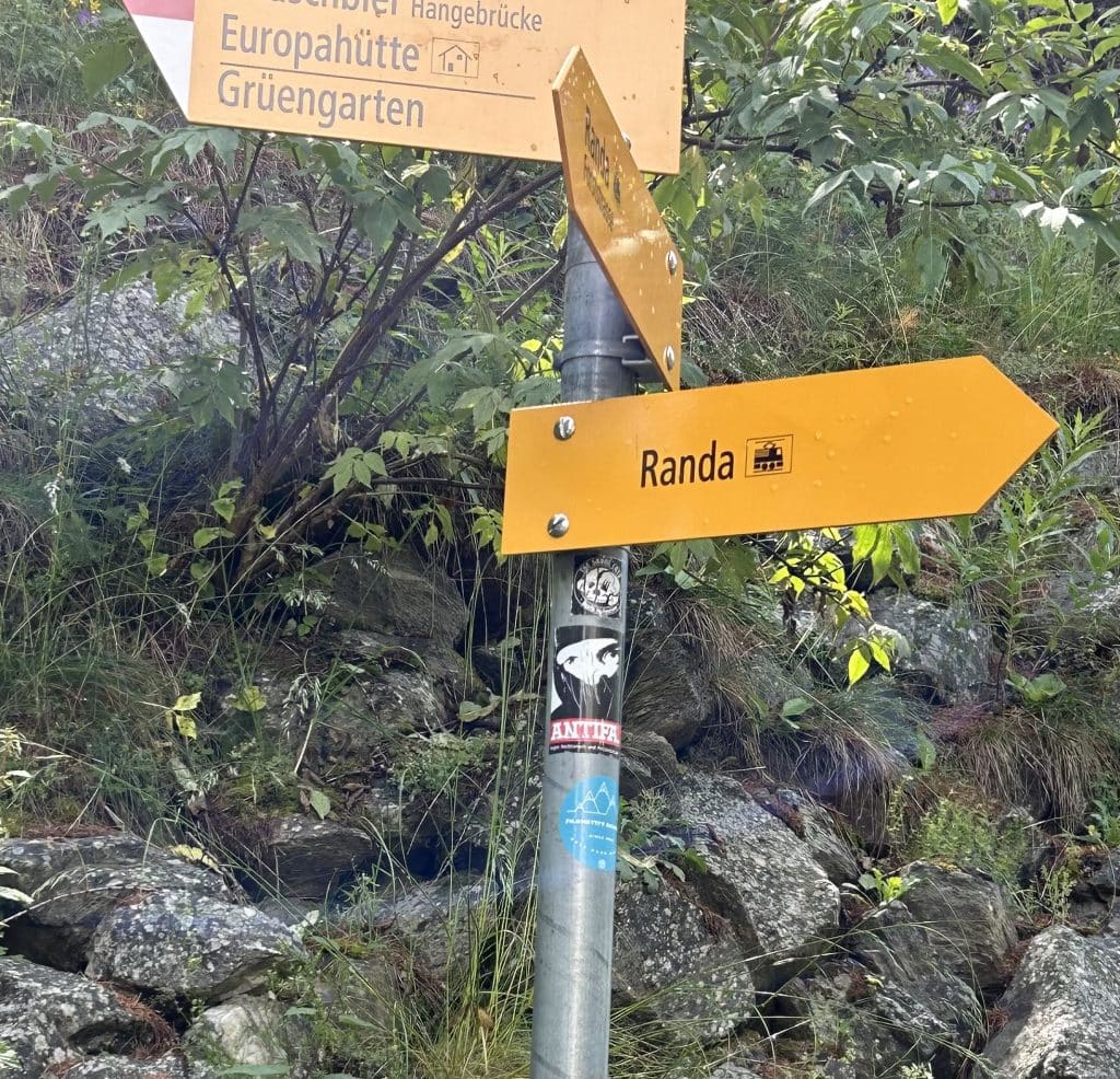
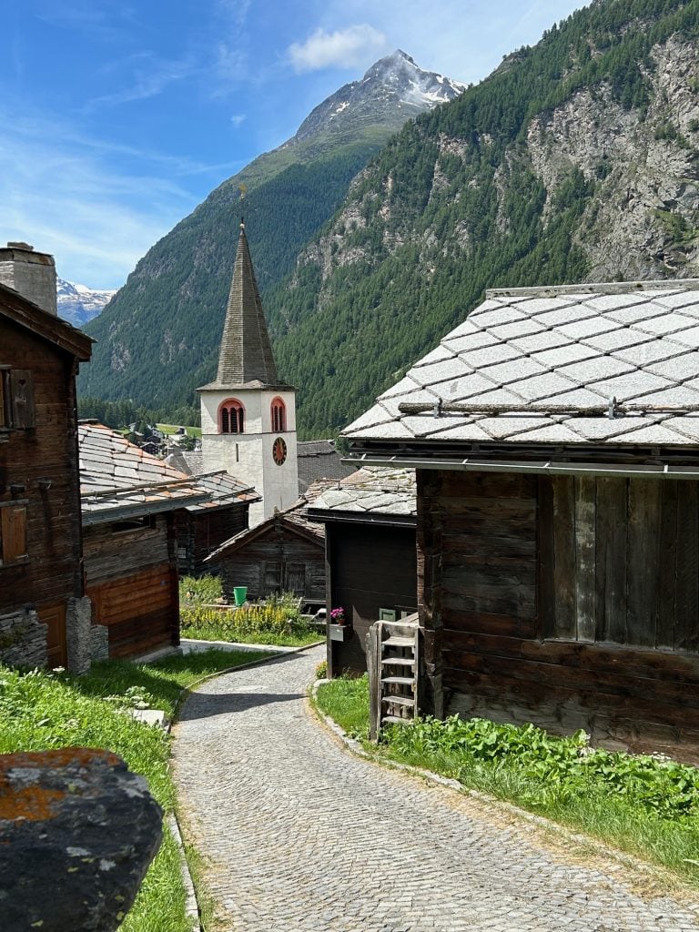
Yet the pull of adventure had us on a bus headed to the village of Randa early on a July morning.
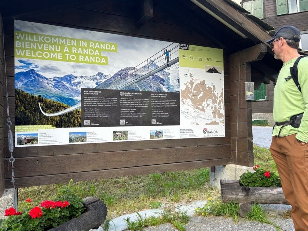
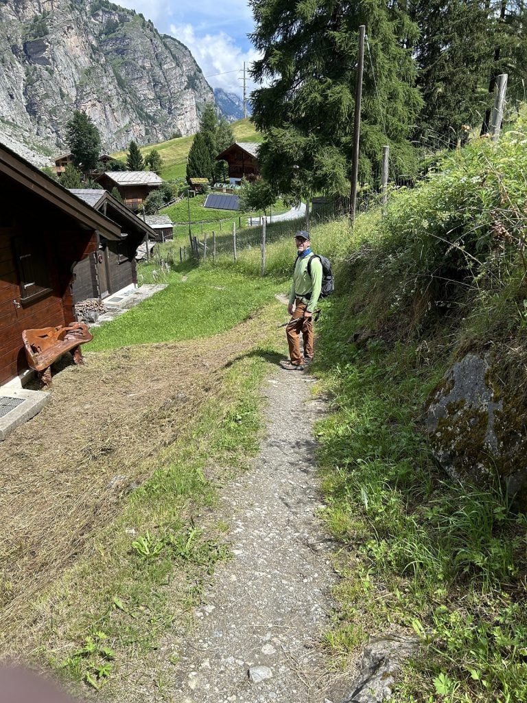
The trail to the Charles Kuonen Suspension Bridge started right at the Randa bus stop and then took us on streets lined with sleepy residences and closed shops. We kept our voices low, trying to be polite intruders.
We chose to hike the loop in a clockwise direction, though that meant a steeper climb to get to the bridge.
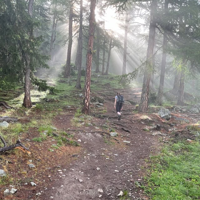
Once outside of town we followed a dirt trail into the woods. Walking turned into climbing very quickly as the trail went almost straight up in places.
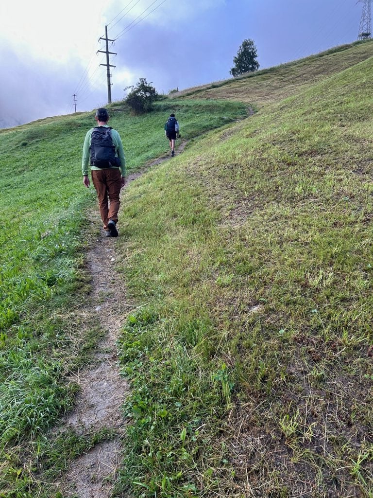
We trudged along. Though it was exhilarating to be in the mountains, our trail was starting to feel endless, and we took lots of breaks.
Parkinson’s hiking tip
Mountain hiking, along with steep climbs, comes with thinner air. So if it feels harder to breathe than usual, it’s likely caused by the elevation. Resting every few minutes will help. Unfortunately the best solution to excessive huffing and puffing is to go back down. Don’t ignore your body’s signals.
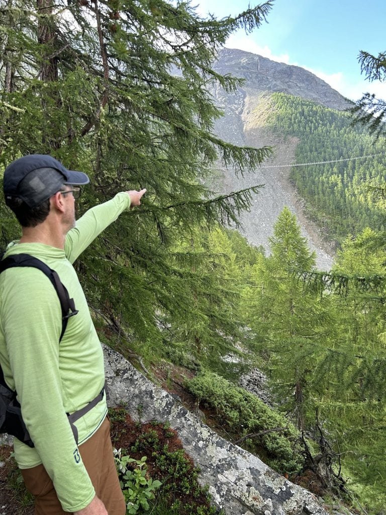
We got our first glimpse of the bridge in the distance.
Seeing it lifted my spirits, but it was still quite far away.
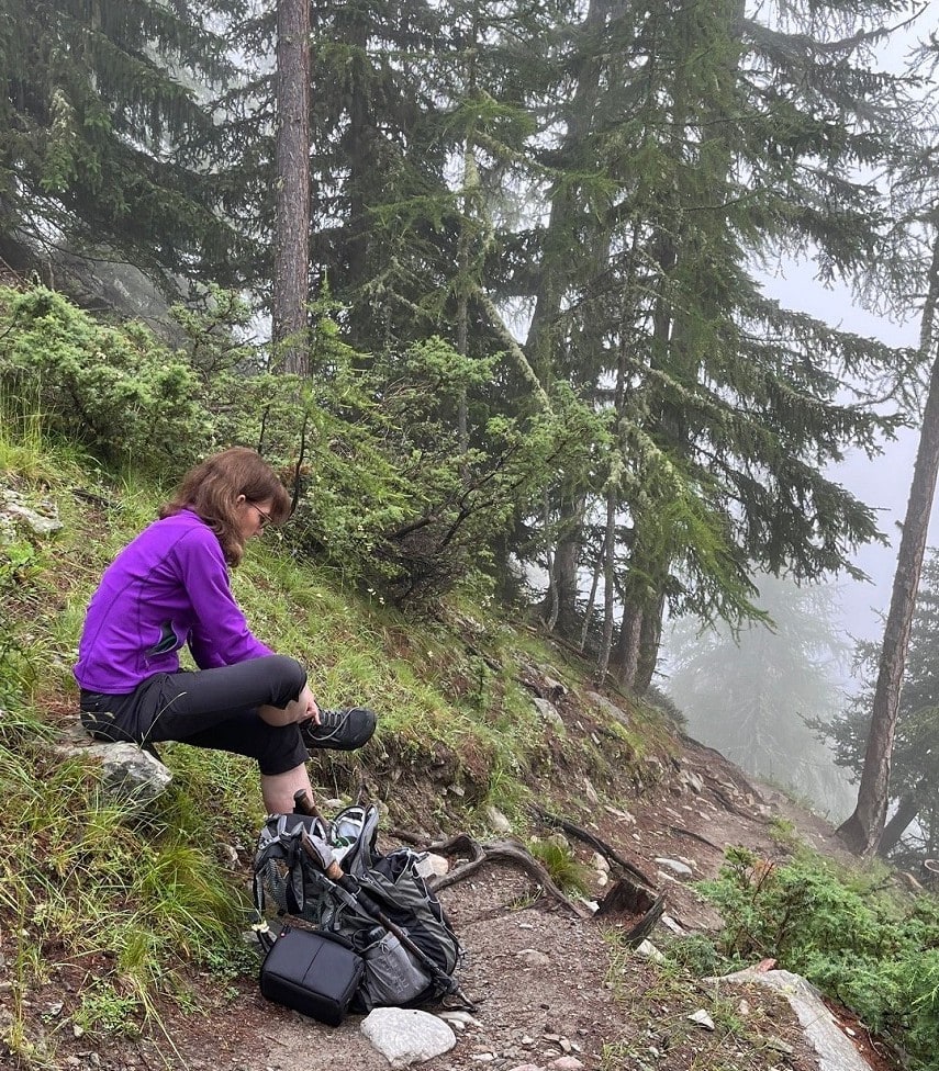
On we went. I was wilting from the high humidity that hung in the fog around us. I tried to remember to drink often, though getting my water bottle out of the pack took extra energy. Would we ever get there?
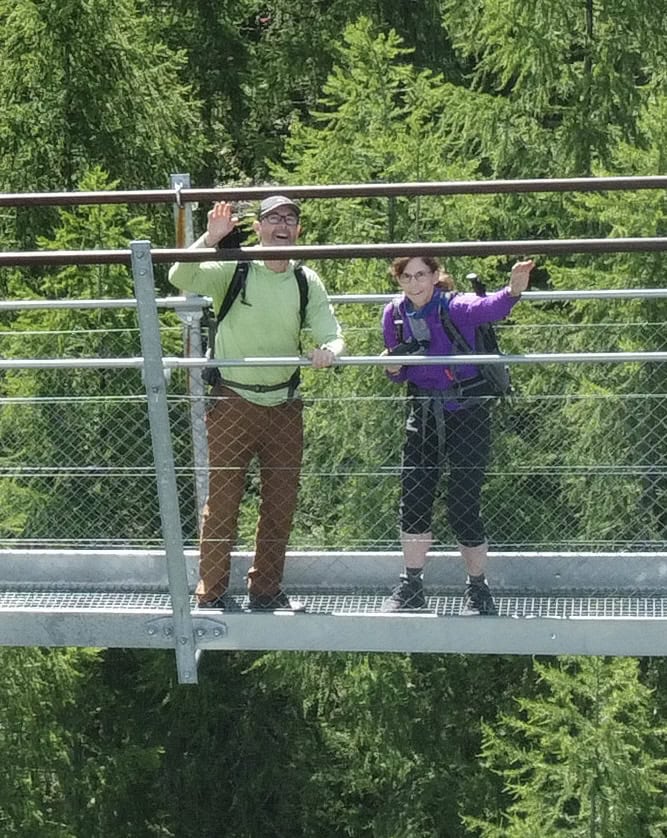
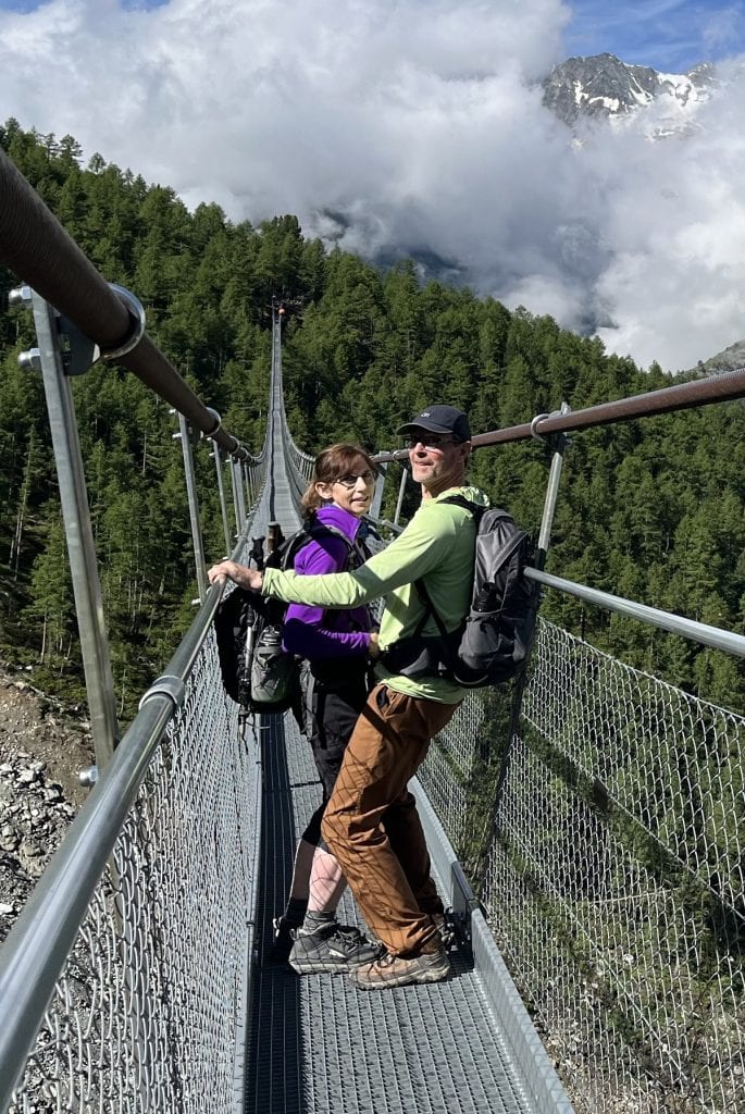
All that faded away into awe, though, when we reached the bridge.
After short rest, the hubby gave it a whirl on the bridge while I set up my drone for some photos and videos. I had been pleased to learn that drones are legal in the Swiss Alps if you put safety and courtesy first.
(The video shots can be viewed on my YouTube channel.)
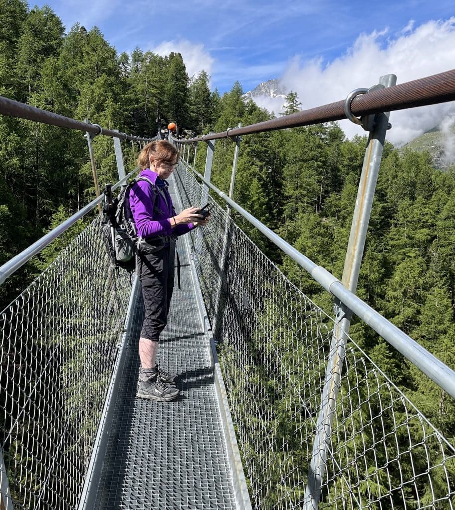
I have to say, my first few steps onto the bridge were unnerving. I followed the logic that a county that manufactures precision wristwatches with a meticulous attention to detail must use the same precision engineering for their bridges, too. And I felt better.
Once past the jitters, what fun we had! Since no one else was on the bridge, the Unshakable Husband enjoyed trying to make it bounce, but it didn’t have much give to it. I flew the drone high and low as we made our way across to a place I could land it on the ground.
It was surprising how few people we saw at all. For the half hour we were on the bridge, just one lone hiker passed us.
At only 26 inches wide, the suspension bridge has barely enough space for people going opposite ways to squeeze by each other. Also, there are courtesies to remember on suspension bridges, as some hikers may be only one playful bridge bounce away from a panic attack. Kudos to them for facing their fears head on, and kindness is no doubt appreciated.
On our way down the less-steep path to Randa, we saw several groups of people coming up.
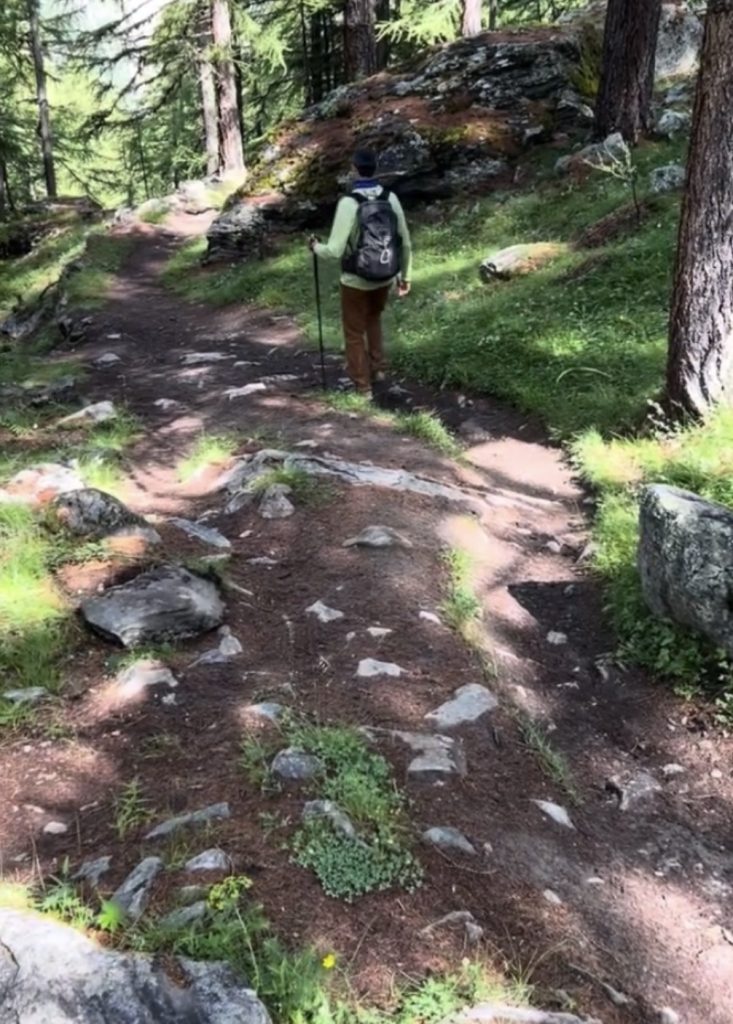
Hiking poles came in handy for both balance and knee-joint preservation going down the rocky path.
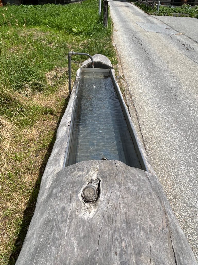
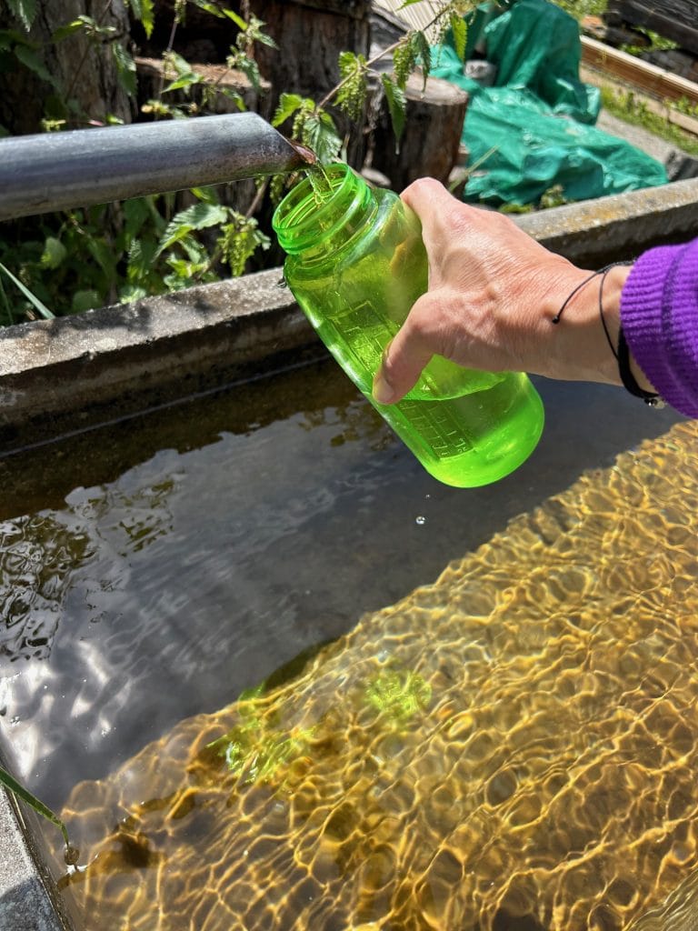
About four hours after starting out, we were back in the town. Church bells announced the noon hour, we grabbed some fresh water offered for hikers (a nice touch, Randa!), and then we waited for the next bus to take us back to our hotel.
Note: Our 2024 trip to Switzerland included two other treks you can read about.
Click here for our group’s hike to Murren from Rockstockhutte hut in the Interlaken region.
Click here for our easy hike to Fluhalp hut in the Zermatt area.
Hike info
PD difficulty level (see chart): Difficult
Distance: 4.8 miles in a loop
Elevation gain: 2,400 feet
Trailhead location: bus stop at Randa, Switzerland
Bathrooms: none
Emergency medical support: the city of Zermatt has a hospital. Zermatt is a few miles south of Randa, but not accessible by car. Board a train in Tasch.
Costs: none
Road access to trailhead: There’s a small parking lot nearby, but taking a bus is the way to go.
Insider tip: Our route was so unrelentingly steep, next time I would opt to go counterclockwise. That way, a hiker has 3 miles to cover the elevation gain to the bridge, rather than 1.8 miles coming from way we did.
(Back to top)