A Colorado trail with a gulch (whatever that is)
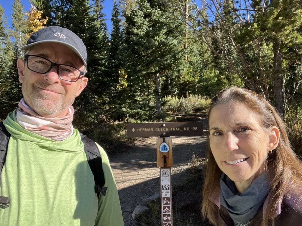
We were headed west about an hour past Denver and hoping to catch some fall colors on a trail not far off of Interstate 70. The Unshakable Husband and I spotted a sign for Herman Gulch Trail.
Gulch? I wasn’t familiar with this word. Could Gulch be Herman’s surname? (Go to trail stats.)
Silly me. I found the word was among the gazillion names out there describing Earth’s geological features and that a gulch is similar to a gorge, ravine, gully, canyon, or coulee (for you Canadians out there). More specifically, a gulch is deep, narrow, and has steep sides and water running through it.
I had to see this thing called gulch.
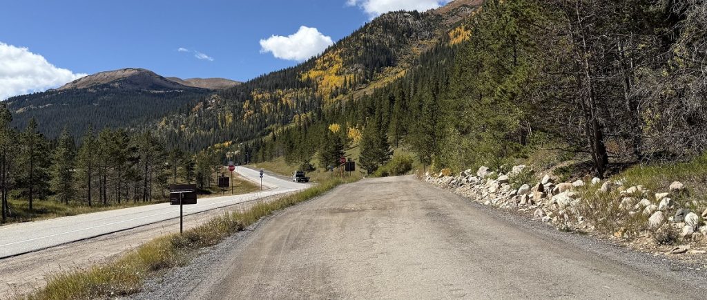
We took the exit off of I-70, made a left turn, then rolled a few yards to a dirt road that also serves as a parking area. Definitely just off the highway.
Herman Gulch Trail is a 6.5-mile out-and-back trek that I’ve rated difficult because of the distance and height — more than 1,700 feet of elevation gain. The altitude challenge is huge because you’re already at 10,000 feet when you start!
The trek is part of the Continental Divide Trail, which passes through five Western states.
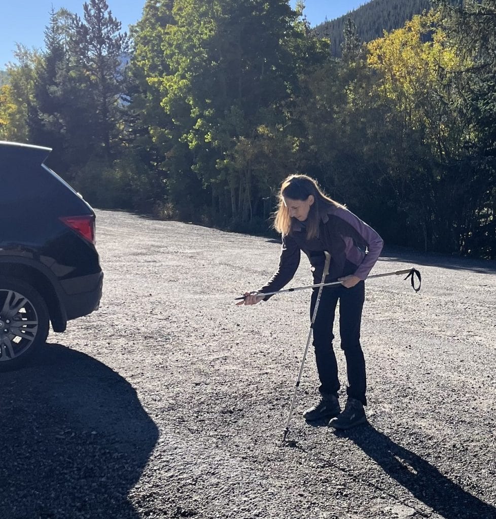
I sized my trekking poles, and the Husband and I were off to a 9 a.m. start.
Parkinson’s hiking tip
Poles do wonders when hiking in the Rocky Mountain. For people who already struggle with balance, the trails are full of surprises and tripping hazards.
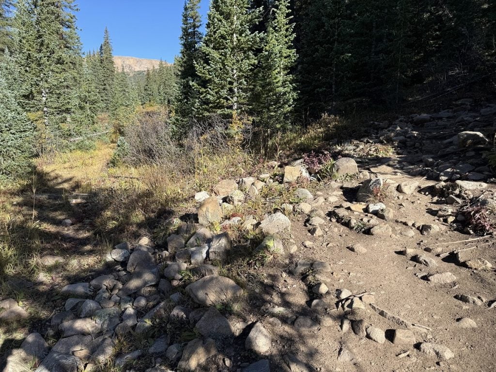
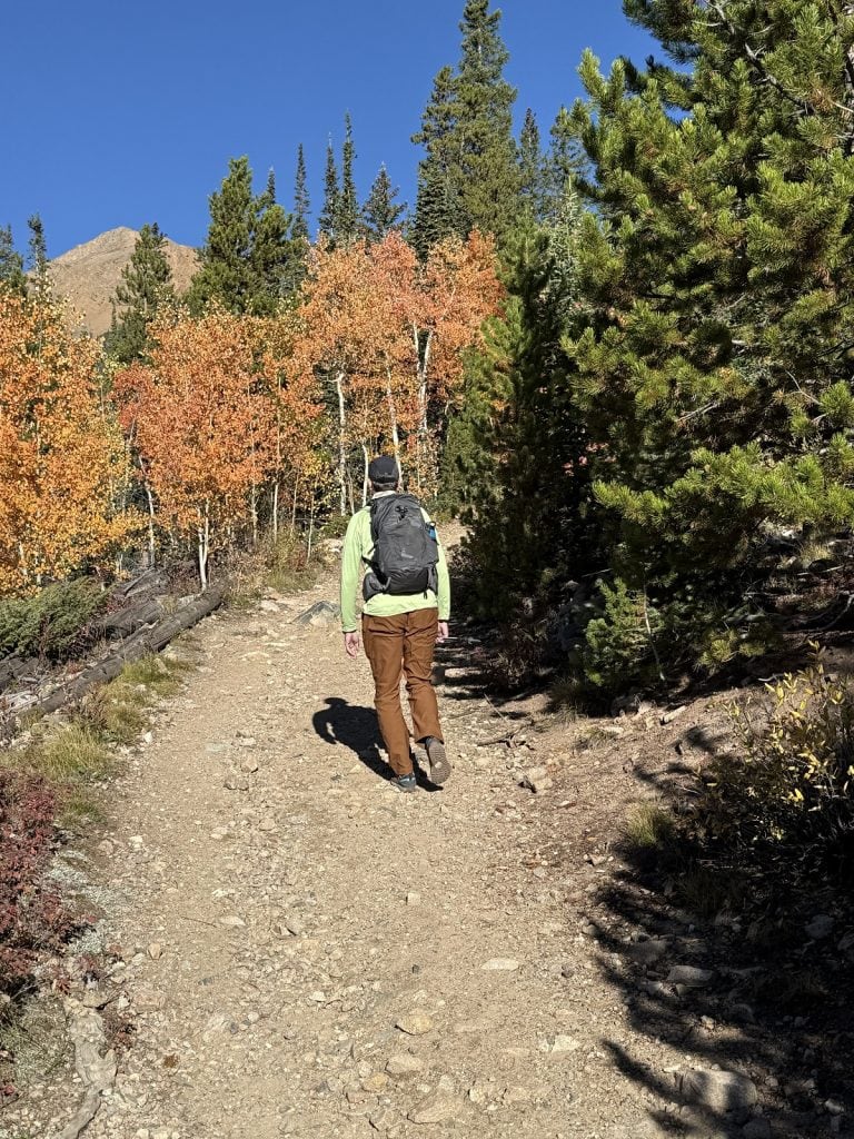
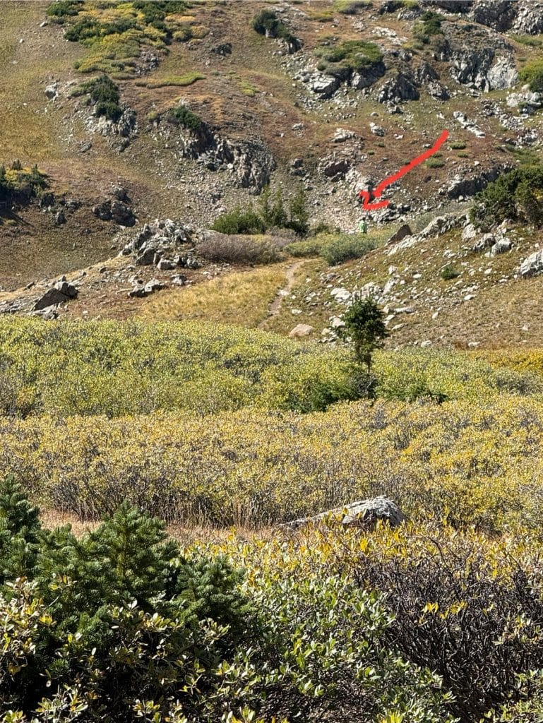
The elevation struck hard and fast. In addition to going up, the trail was cluttered with rock and tree roots. The poles were handy for balance.
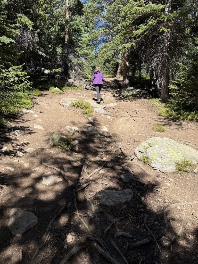
The walk was wooded and cool. After a short while, we couldn’t hear traffic anymore.
About 40 minutes into the hike, the trail leveled out somewhat, but we lost our tree cover. We’d revisit the vibrant colors on the way back.
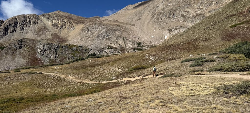
New views included meadows and mountain tops far off behind them.
But where was the gulch? Not in sight yet. First we had to put more of that arduous elevation behind us.
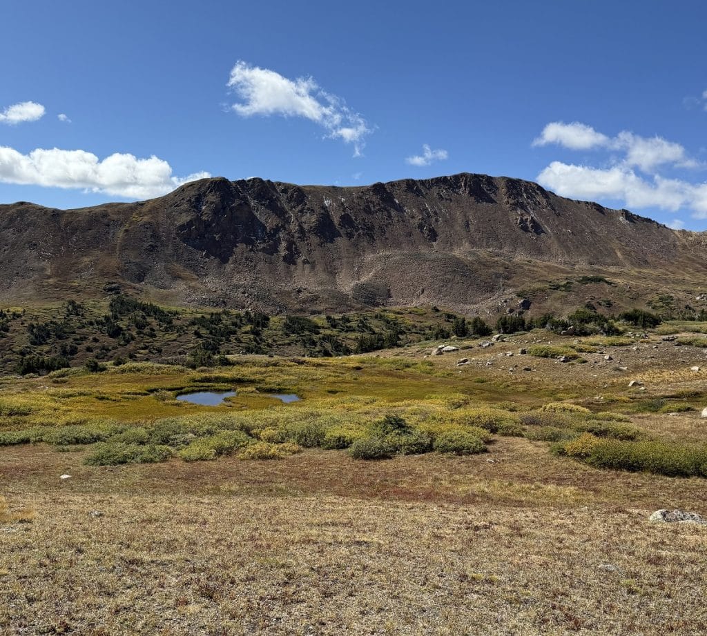
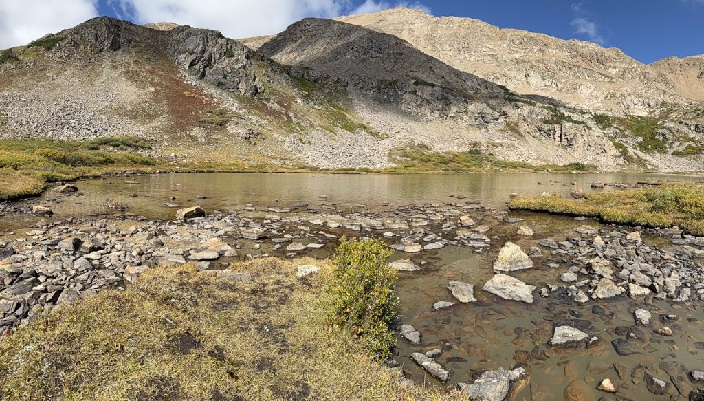
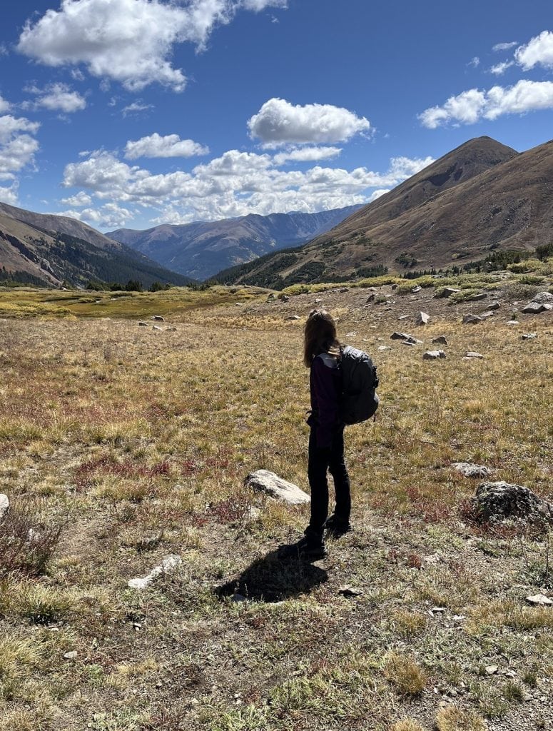
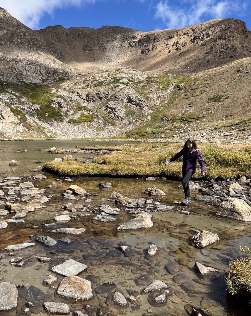
We came to a valley after 2½ hours of hiking, and I couldn’t believe the beauty surrounding us. There didn’t seem to be steep walls on either side of a narrow valley, but this must have been the gulch. Misnamed? Perhaps.
I’ll just say it’s likely the walls were steeper and closer together 100,000 years ago, and leave it at that.
The Husband went exploring past the lake an extra half mile before joining me at the water’s edge.
We stone-stepped and rock-skipped for half an hour.
Sufficiently rested, we made the trip down.
Herman Gulch Trail took us just over four hours, including the stop at the lake.
It may be called by the wrong landform, but when so much loveliness occupies one place, it really doesn’t matter.
Hike info
PD difficulty level (see chart): Difficult
Distance: 6.5 miles roundtrip
Elevation gain: 1,760 feet
Trailhead location: About 20 miles west of Idaho Springs, Colorado, on the north side of I-70 (Exit 218).
Cell phone service: none
Bathrooms: at trailhead
Costs: none
Road access to trailhead: Trail starts next to parking lot.
Insider tip: In summer, the meadow’s flower show goes wild. But the parking area fills up by 9 a.m. on weekends, so start early.
(Back to top)