Rain happens: A lovely but soggy Arizona trek
Nature’s full of surprises. If you spend enough time outdoors, you know how quickly the weather can change.
How many times have you heard, “If you don’t like the weather in (insert almost any city), just wait five minutes.”
This quick-change act can throw off the best of plans. Not all hikes can be 65 and sunny.
I somehow forgot to, as the Boy Scouts would say, “be prepared” for a recent trek in central Arizona. And Nature pulled a fast one on me and others on the trail.

The hike I chose was the See Spring Creek Trail, about 30 minutes from the town of Payson and in the sprawling Tonto National Forest.
The area is a magnet for weekend hikers, but this trail was more obscure than some of the more popular ones. It was high enough in the mountains and mostly shaded – a chance to beat the Arizona heat.

I invited family members along, including a youngster who insisted on wearing a swimsuit for the hike. At least she had good footwear. Pick your battles.
After the drive from Payson, we came to a small parking area, which serves at least three different trails.
(Specific driving directions are at the end of this post.)

There’s an outhouse and map board at the trailhead.
I always snap a picture of the trail map on those boards, no matter what other navigating prep I’ve done.


It was a beautiful afternoon for a hike. We were feeling good.
Within the first 200 yards is the first and only water crossing.

The creek was shallow – but that can change depending on rainfall – and there were plenty of rocks to step on to the other side. Or, for the more adventuresome, there’s this:

Parkinson’s tip
If rock-stepping and log bridges aren’t your thing, bring some water shoes and poles to cross the stream.

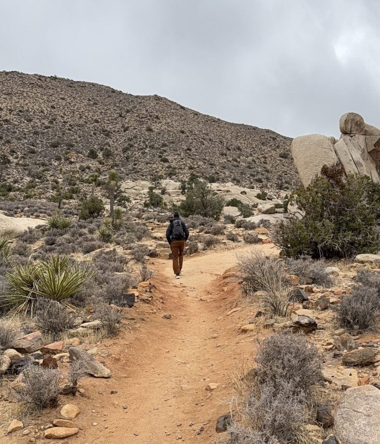
For the first 15-20 minutes, the trail is smooth and gently slopes upward.
This sign is the last direction offered before the guesswork commences.
But the trail is distinct for the most part.

The creek is to the left the entire way up.
When some red rocks appear on the right, you’ll know you’re about halfway to the turn-around point.

That’s when we saw some grayish clouds. But they seemed to be blowing away from us.
The trail gets trickier after the first half mile. The slope still is not steep, but its smoothness succumbs to rocks.
In addition, there’s one stretch where the trail is eroded and gets real thin.


We took our time, half-ignoring the darkening sky.
Where was the turn-around point?
We came to a rocky area but didn’t see anything that would signal “end of trail.”
Then, after stepping over the big rocks, we came to a mini waterfall.
Was this the “spring” in See Spring Trail? I still don’t know for sure.

But it seemed like a good place to turn around, especially since we now were feeling raindrops.
Then whoosh! The rain hit hard. We pulled out the rain gear; it was going to be a soggy trip back.
But wait.
Stupidly, we didn’t prepare for rain. All we had in our pack were a couple of hooded towels for the young ‘uns.


Parkinson’s tip
Getting wet often means getting cold. Some people’s symptoms flare up, including increased tremoring, stiffness or slowness, when they feel cold. Even more reason to prepare for adverse circumstances.

We had ignored the gray skies and hadn’t turned around when we should have.
By the time we all got to the car, the adults, unprotected the entire way, looked like front-seat riders on a Splash Mountain ride.
We were wet, but wiser. An inexpensive plastic poncho or even a large garbage bag would have kept us dry.
Hike info
PD difficulty level (see chart): moderate
Distance: 2.5 miles roundtrip
Elevation change: 475 feet
Location: near Payson, Arizona
Bathrooms: outhouse at trailhead
Emergency medical support: Payson is the closest town with services, 40 miles from trailhead
Costs: none
Road access to trailhead: park next to trailhead

Insider tip: Bring a car with a medium-high clearance. Our Honda CRV did well enough on the rutty dirt road.
Directions to trail from Payson
We took Highway 260 east from Payson for about 40 miles before reaching the turn-off. Our GPS told us to go left onto Rim Road. You have to watch for the nondescript left-turn lane. You’ll find yourself on a dirt road to the trail that has more ruts than a lunar surface. We took it slowly. It ends at the parking lot after about 1.5 miles.