Lakes Trail reveals some of the beauty found in Wyoming
I have been unfair to Wyoming. It is a much prettier state than I had thought.
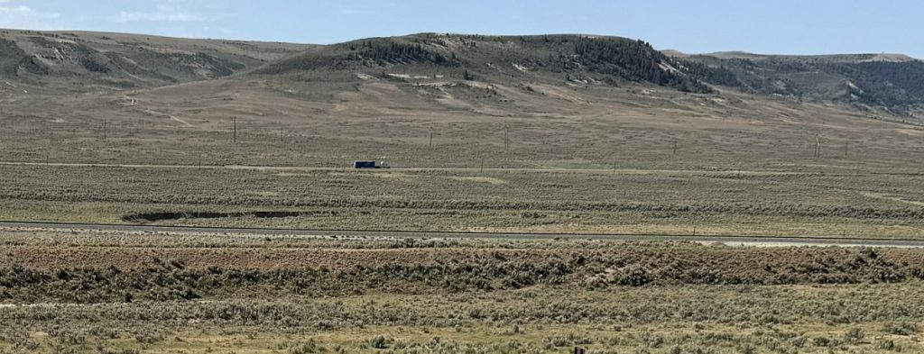
Many times I’ve driven on Interstate 80, a road endured by Midwesterners traveling to the West. For several hours through Wyoming, I-80 travelers see little more than vast grasslands, treeless horizons, sagebrush, and rocky plateaus.
I know, I know, people say each landscape is beautiful in its own way. And they are right. Plus, Wyoming lays claim to Yellowstone and Grand Teton national parks. Can’t beat those for beauty!
Still, piney forests leading to turquoise mountain lakes, maybe with some red rock formations thrown in, are the Western hikes I tend to seek.
So when the Unshakable Husband and I drove into Wyoming from the south rather on westbound I-80, we were surprised — and pleased — to discover Medicine Bow-Routt National Forest, and its Lakes Trail #296.
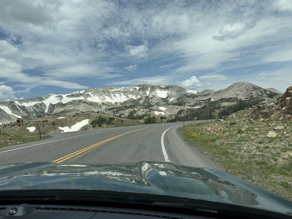
The forest land covers more than 2 million acres in Wyoming and Colorado along their border. It features the Snowy Range, whose peaks rise to 12,000 feet.
We were pressed to get to our destination, but when those white-topped mountains came into view from Highway 130, we had to stop and check out the hiking possibilities.
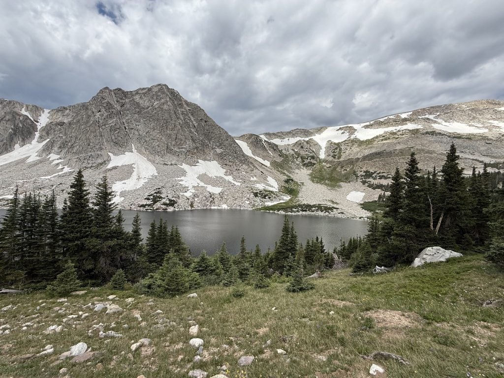
Lakes Trail #296 looked just right. It’s a 3-mile out-and-back trek with about 500 feet of elevation change, and it would take us past alpine lakes surrounded by rugged gray mountains.
The Lakes Trail actually leads to an extension that goes 1,000 feet up to a ridge. We didn’t have the time or energy for that, so we planned to turn around at the junction.
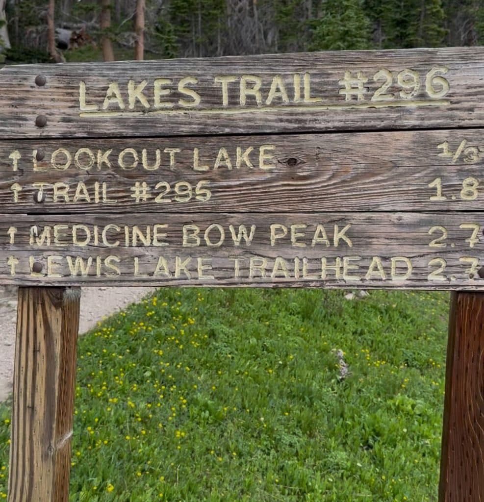
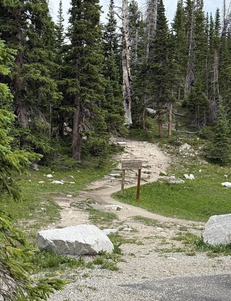
At the trailhead, a sign pointed the way.
It was around 1:30 p.m. – a bit late to begin a Rocky Mountain hike in July. Afternoon storms are common. We kept an eye on the skies
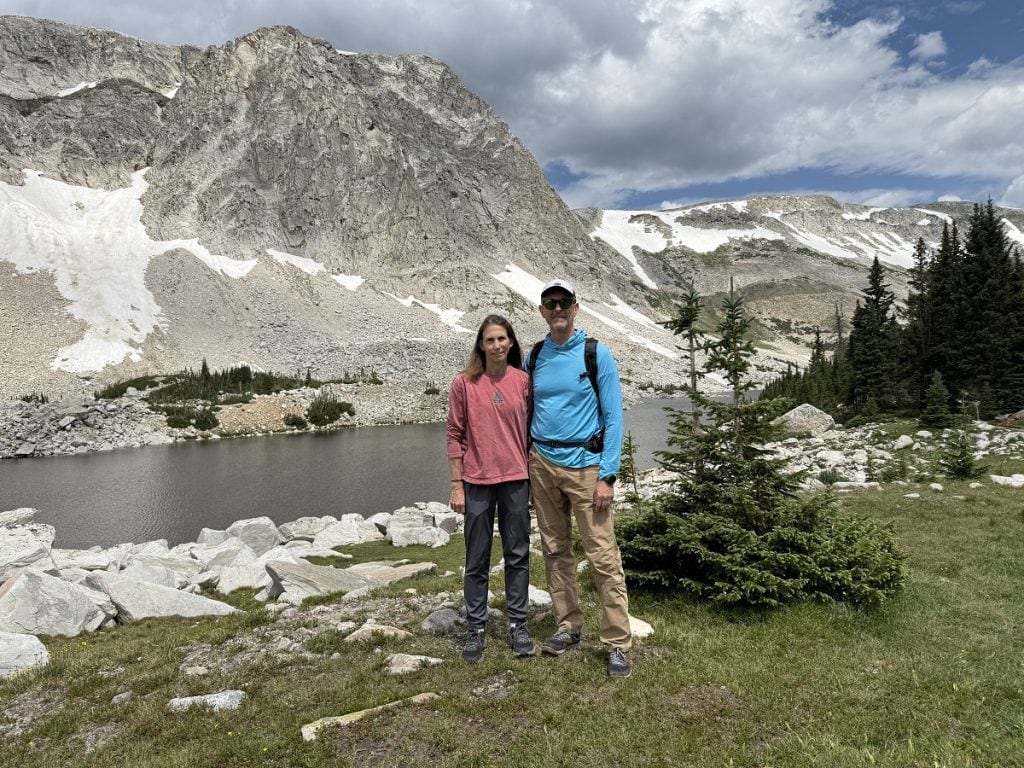
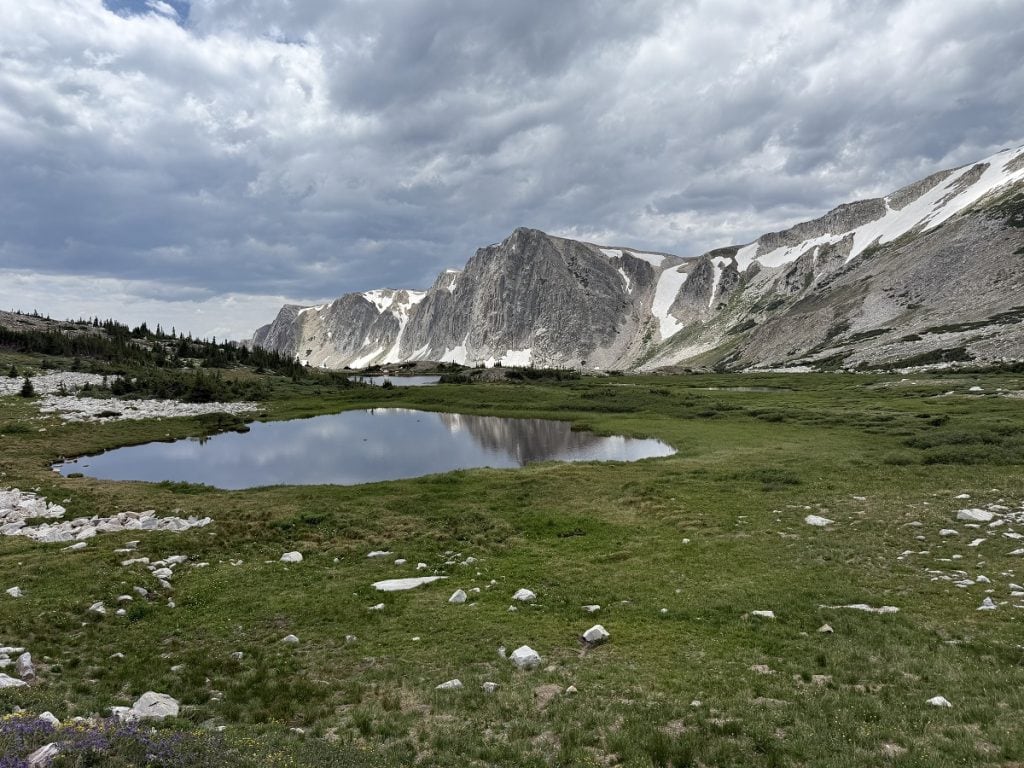
Our first stop was Mirror Lake for a photo op. It seemed like the thing to do among the other hikers there.
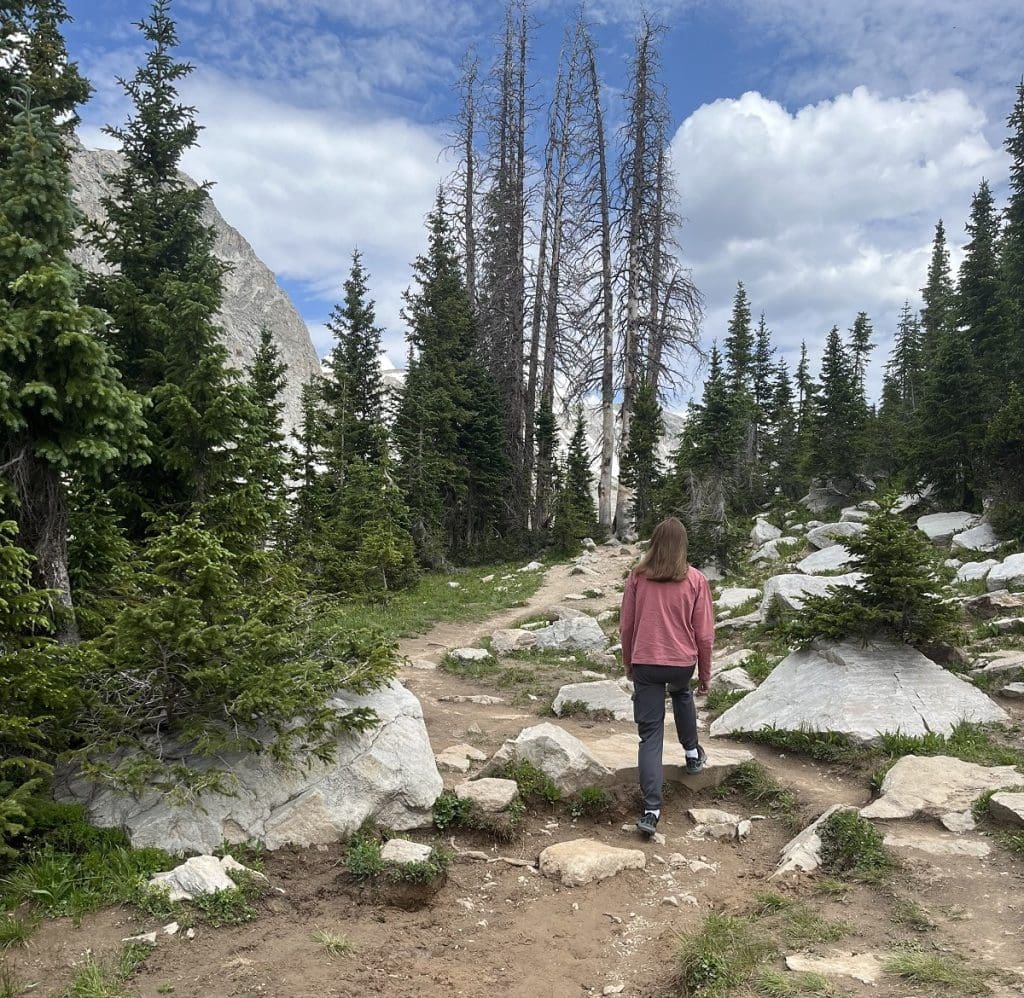
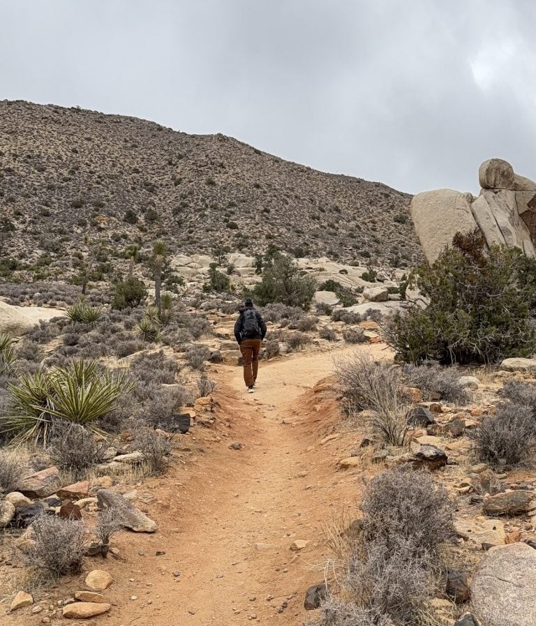
From there the trail got rocky.
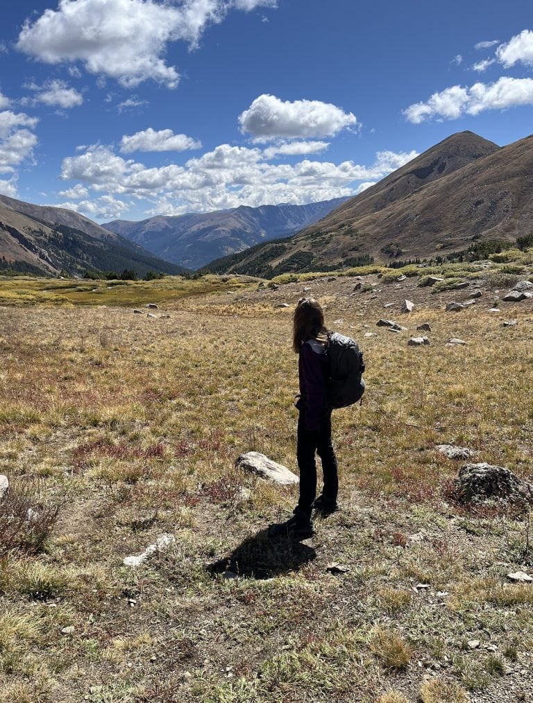
The slow incline allowed us to stretch out our legs after a morning in a car. The mountains across the lake were stately in gray tones.
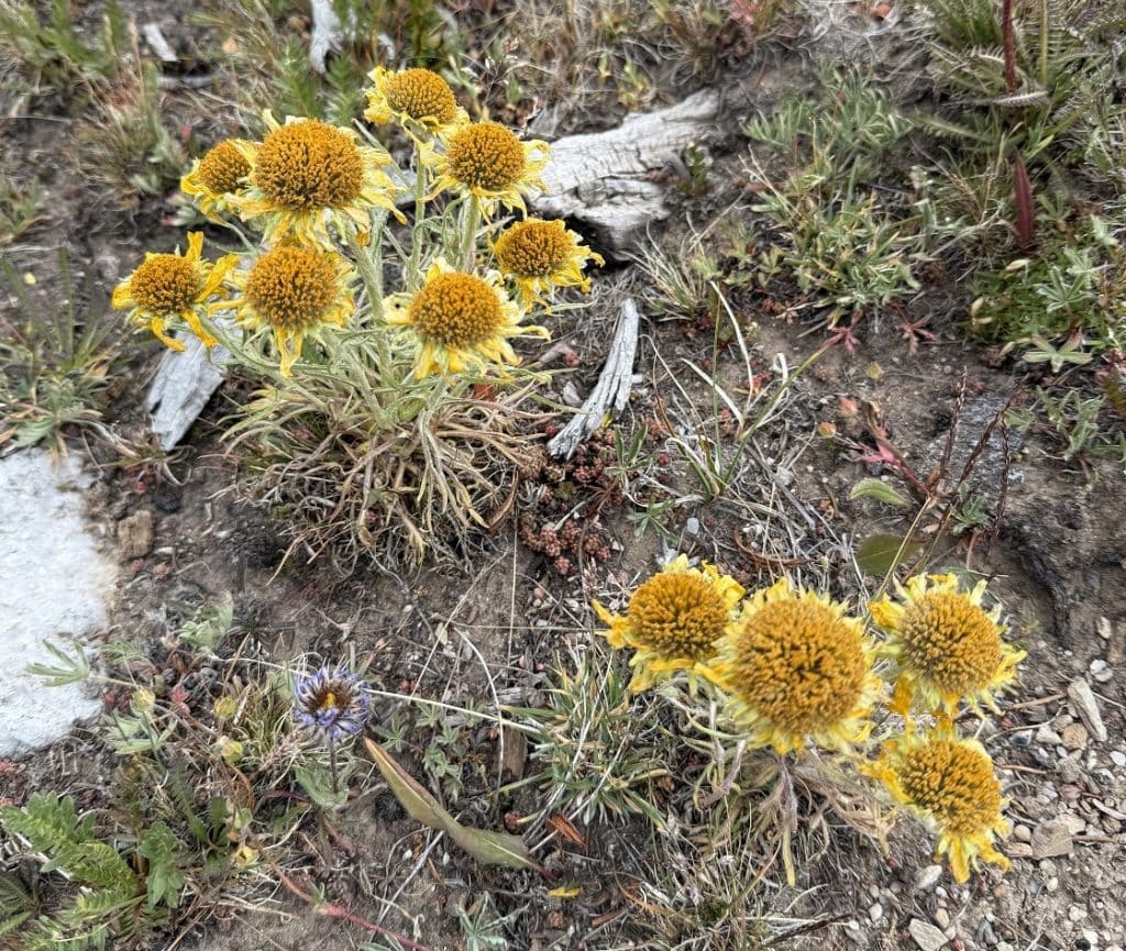
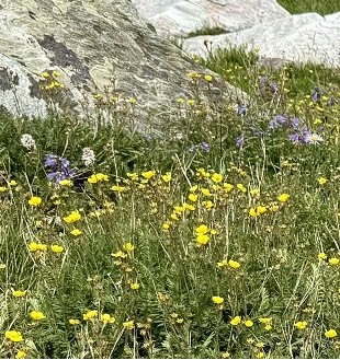
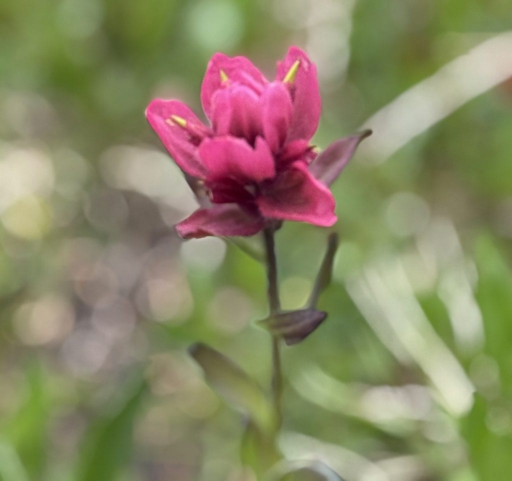
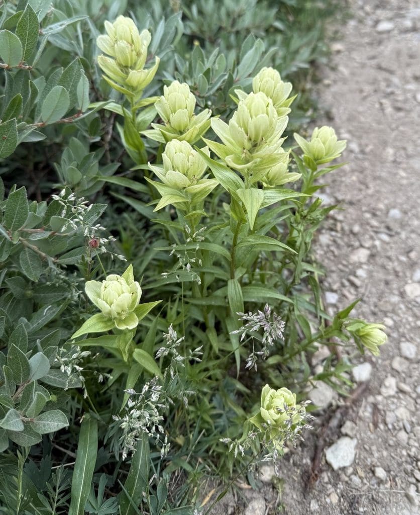
Around us were meadows of wildflowers. Have a look.
After some fairly mild switchbacks, we passed the last lake, called Lookout Lake.
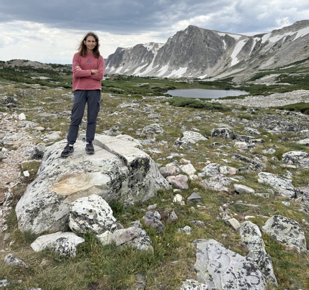
A couple hundred yards from the end of Lookout was a field of rocks and boulders.
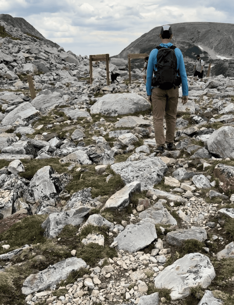
This was the trail junction, and our turnaround spot.
Parkinson’s hiking tip
Boulder and rock fields require care with every step. Wear shoes with ankle support, and bring two hiking poles along for this section.
We could have continued by taking Medicine Bow Peaks Trail up to the ridge.
These hikers did. They were now on their way down.
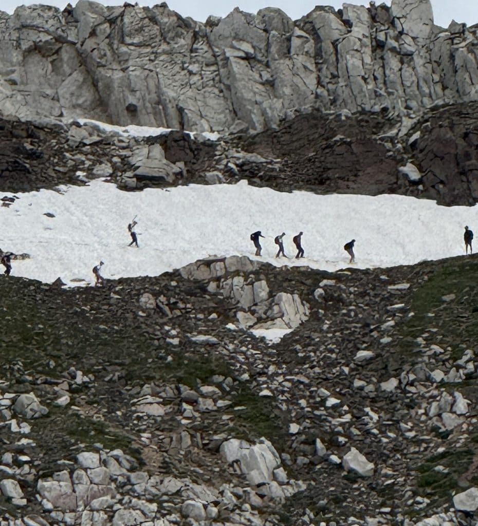
It is hard for us to say “no” to climbing up high for any view, but the clouds were looking more iffy.
So instead we climbed around on the boulders, summoning our inner 6-year-old. Then we headed back the way we came.
The return trip went much faster. Gotta love those gentle slopes downward.
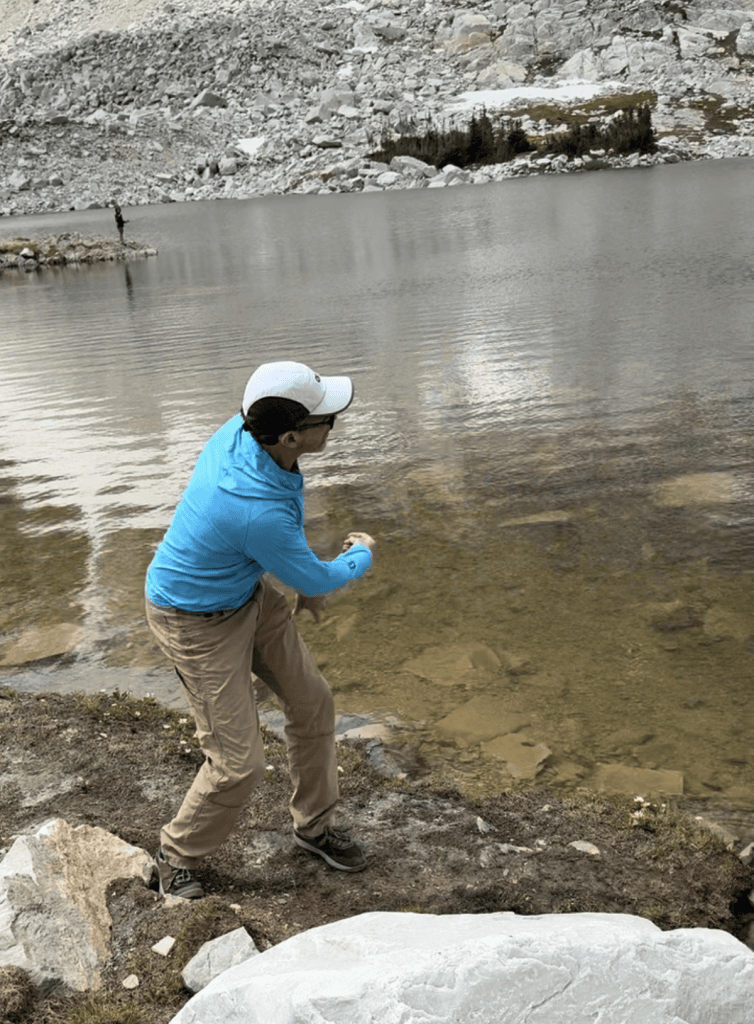
We took a second break at Mirror Lake to skip rocks so the Husband could practice his expert skill.
Parkinson’s tip
I get frustrated because my right arm is stiff and I cannot throw with any accuracy. Luckily, I never was much good at throwing and skipping rocks, and I have accepted this new fate. But it’s hard to accept many other limitations of Parkinson’s disease.
The hike, with all our stops, took about two hours. We felt energized for the last part of our drive.
(Check out my 2-minute video of this hike.)
Hike info
PD difficulty level (see chart): moderate
Distance: 3.2 miles roundtrip
Elevation gain: 520 feet
Trailhead location: From Centennial, Wyoming, travel 13.5 miles west on Hwy. 30 and turn in to the parking area at Marie Lake.
Cell service: none
Bathrooms: Vault toilets are available at the West Lake Marie trailhead.
Emergency medical support: The closest hospital is Ivinson Memorial, 30 miles away in Laramie.
Costs: $5 fee in parking lot
Road access to trailhead: Trail starts from parking lot.
Insider tip: There is also a paved, accessible trail that starts from the parking area. It goes along nearby Lake Marie.
You may be interested in this related post: “Overdoing it on a hike in Grand Teton National Park”


Awesome!
Everything looks beautiful and happy.
If only we could find ourselves in places like this every day. Would it ever get old?