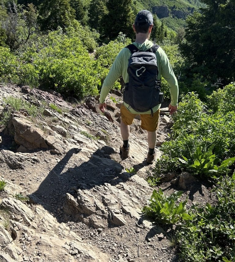
Hiking a section of Wisconsin’s Ice Age Trail
Trails with a history make for a unique hiking experience. But few treks have a story as old as the Ice Age Trail, which goes back 12,000 years when, after a long period of cooling, Earth’s most significant warm-up began.
Glaciation then created the Great Lakes and radically changed the planet’s geography, including the area we now know as Wisconsin.
Today the Ice Age Trail, a 1,200-mile stretch from opposite corners of the state, is a relic of that process. It actually follows along the edge of the last continental glacier.
Designated as a National Scenic Trail, it attracts more than 2 million people a year to various parts of Wisconsin.
Hikers typically choose a section to cover, but ambitious ones have completed the entire trail.
After a little online research, I chose a pretty section of the Ice Age Trail through Hartman Creek State Park for our experience walking where glaciers once roamed.
The route through the park was 5.4 miles, but it’s easy to shorten it by turning around when you want.
With our Wisconsin parks sticker on our windshield, the Unshakable Husband and I entered Hartman Creek State Park. We took Windfeldt Lane past the campground and all the way to the end, where a paved area looked somewhat like a parking lot.
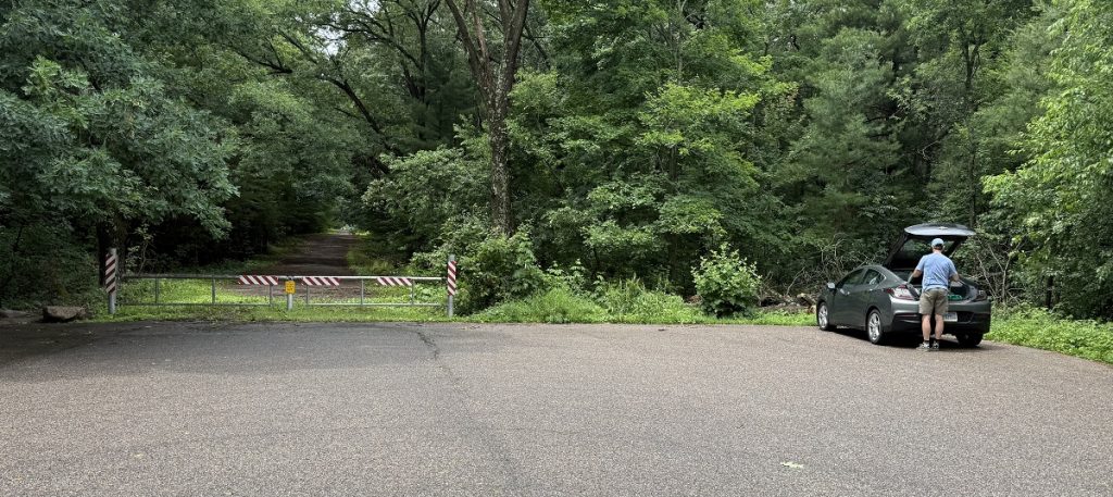
In getting to it, we actually passed the trailhead and had to backtrack on foot for a quarter mile.
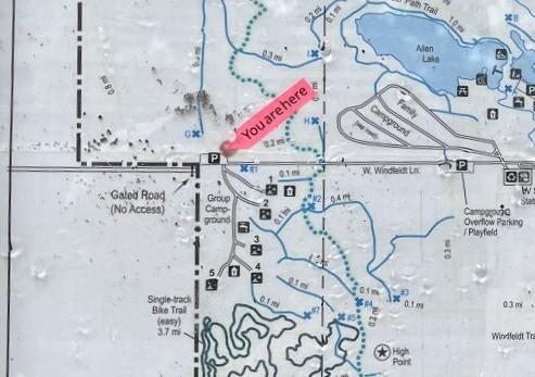
(Technically it wasn’t the trailhead, as we started about in the middle of the park.)
We then had a choice: Go north or south?
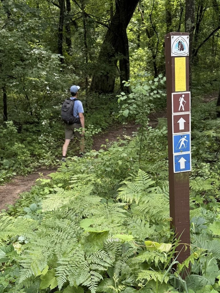
South won, and we hit the trail at 1:25 p.m.
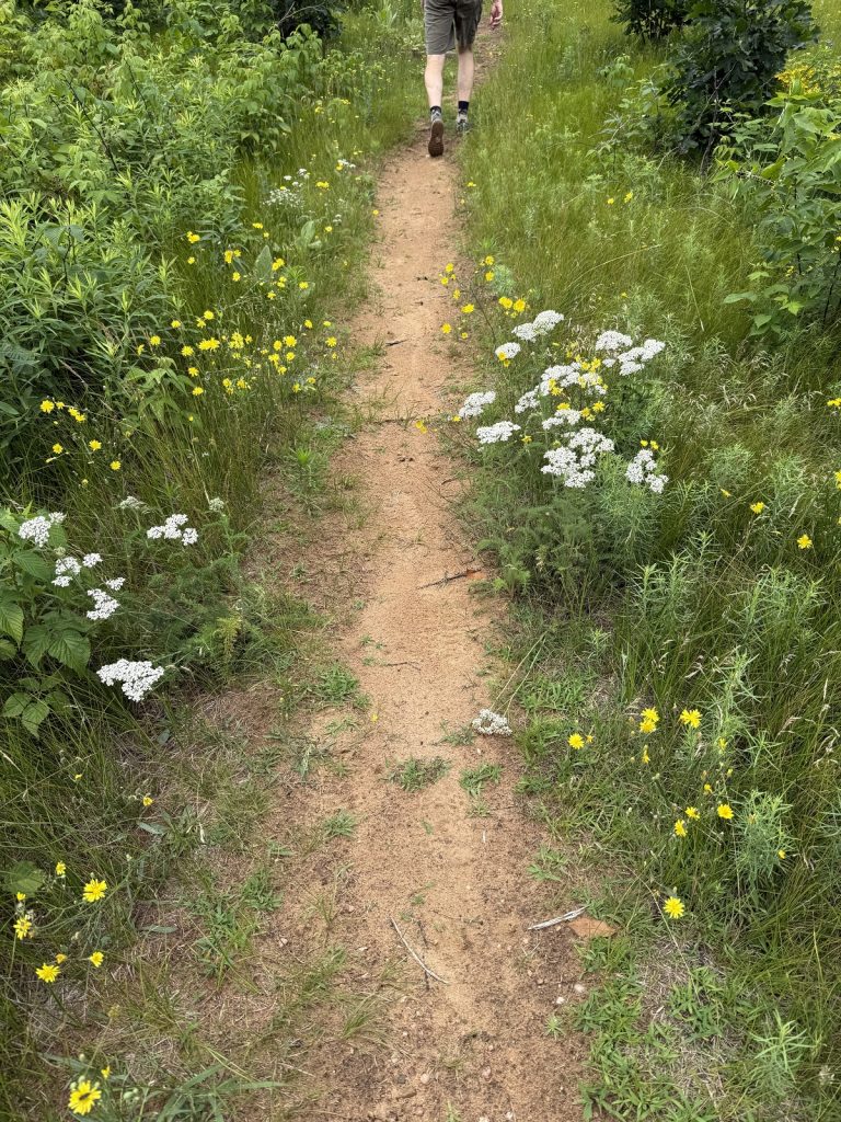
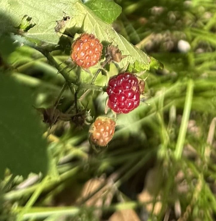
Rain had gone through the area earlier. The trail was rooty, but not rocky. Wild raspberries sprouted along the way and reminded me of when I picked them as a child on hikes in northern Minnesota. They were tiny but definitely ripe.
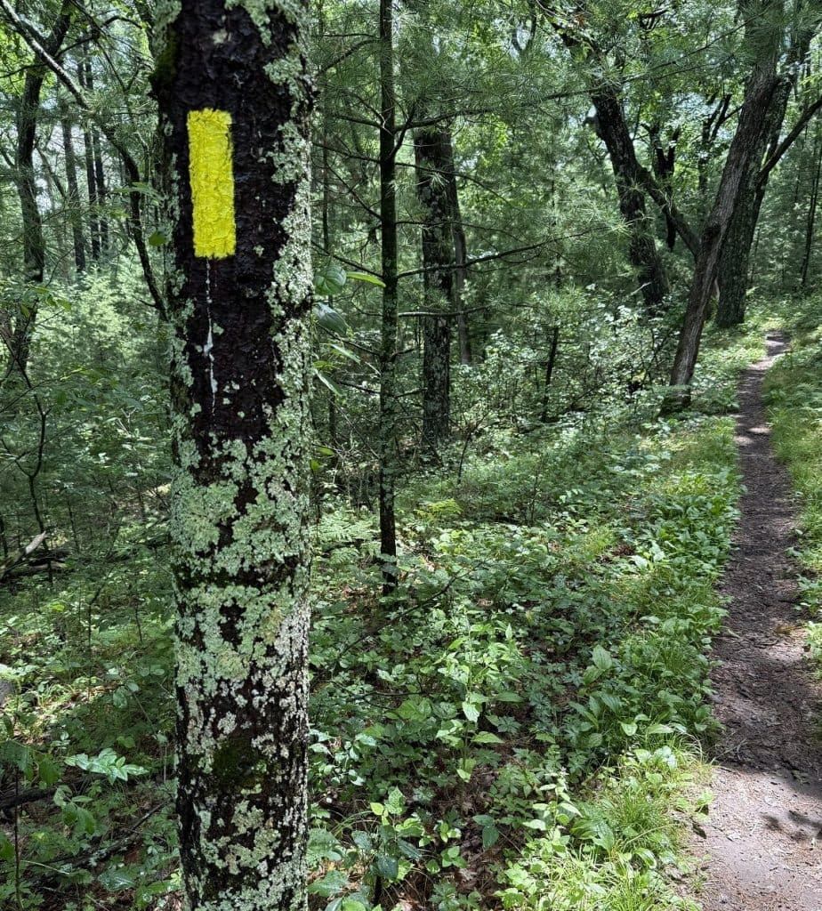
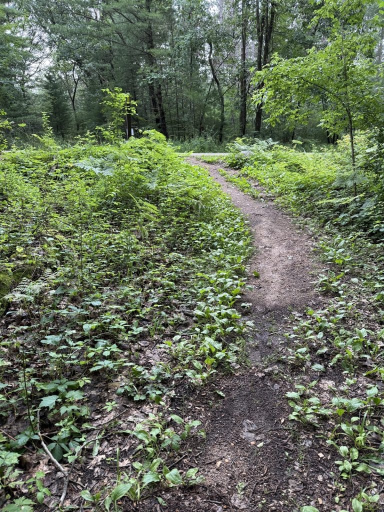
The Ice Age Trail through the state park is named Hartman Creek Segment. Yellow blazes on trees and posts let us know we were on the right path.
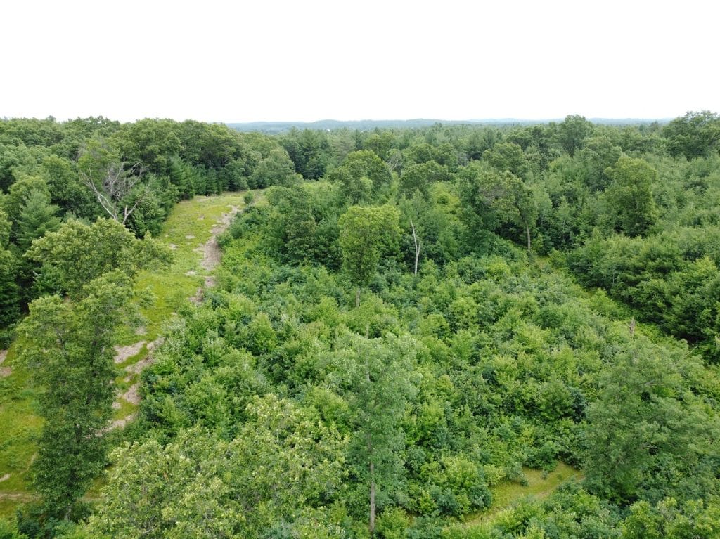
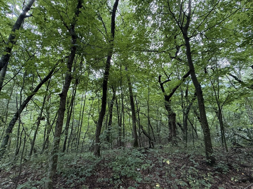
The scenery was lush, green, and mossy. Among the geological features we saw were the glacially formed hills called moraines. You can see them up close and in the distance in this shot.
Parkinson’s Hiking Tip
More of an observation than a tip. The fragrances from after the rain must have been strong because even I could smell them. Loss of smell is a common symptom of Parkinson’s disease. I’ve lost mine only partially.
The trail has yet to be completed from start to finish, with portions still undeveloped.
While the trail has federal and state oversight, a very special group of volunteers called the Ice Age Trail Alliance works to fix up the trail for hikers. Their mission is to create, support and protect the many segments of the Ice Age Trail. Here is their website.
We agreed that at 2:40 p.m. we would turn around no matter how far we had gone.
Parkinson’s Hiking Tip
The nice thing about “out-and-back” hikes is you get to decide how far to go. This can be perfect for hikers with movement disorders. Be sensible and remember you’re always more tired on the trip back to the car.
We passed several groves of old-growth trees, which kept the sun from bearing down on us.
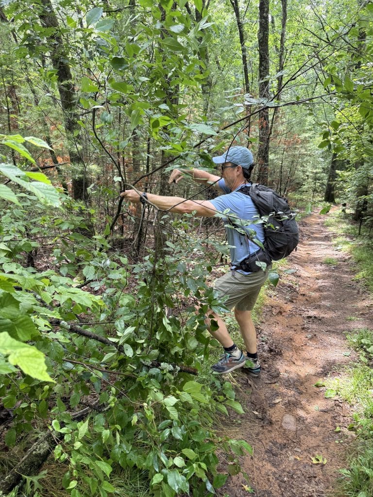
The Husband likes to clear off downed branches from trails. I caught him in the act!
There was enough of a breeze to keep away the mosquitoes, a real problem on some sections of the Ice Age Trail. Repellent is a must — but be aware even deet doesn’t repel flies and gnats.
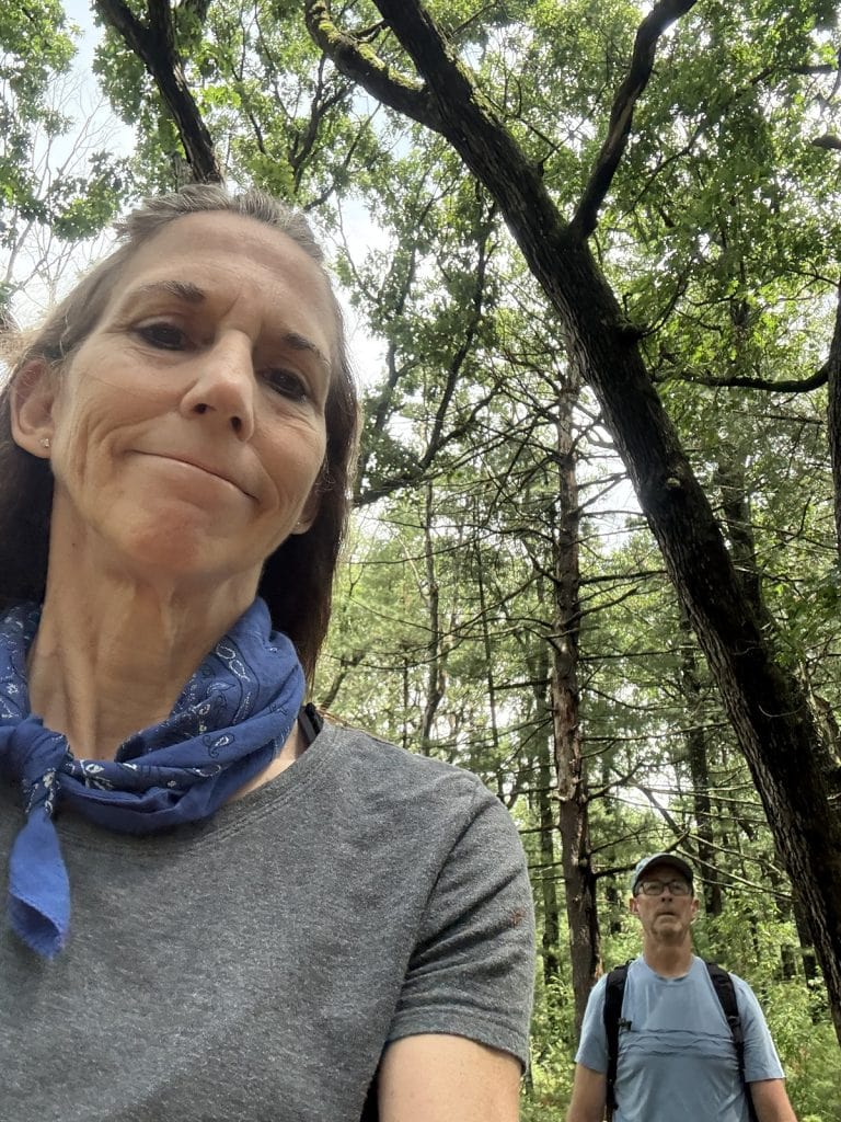
We saw only a couple other people on the trail.
We turned around at the time we had planned, after climbing what was probably the biggest hill on the trail so far – which wasn’t really that steep. There is over 400 feet of elevation gain, but that’s if you do the entire segment.
The walk back was lovely as the golden hour approached. We returned to the road by 3:40 p.m.
Hike info
PD difficulty level (see chart): moderate. (Easy, if you shorten the distance.)
Distance: 5.4 miles roundtrip
Elevation gain: 426 feet
Trailhead location: near the end of Windfeldt Lane in Hartman Creek State Park
Cell phone service: spotty
Bathrooms: none
Emergency medical support: ThedaCare Physicians in Waupaca, a 10-minute drive from the park entrance.
Costs: Day pass is $16; pay when you enter the park.
Road access to trailhead: a quarter mile walk from parking area.
Insider tip: Beware of ticks if you’re hiking in the late summer months. They often grab onto you while you’re walking in grass or under tree branches, the sneaky little buggers. Check your skin all over as soon as possible after your hike.