
Utah trail gives front-row seat to views of Salt Lake Valley
Hikers who live along Utah’s Wasatch Front have it made. There is an array of beautiful trails available to them without a long drive on winding canyon roads to get there.
Grandeur Peak is one of them. It’s less than five miles up the canyon from I-215 in the Mill Creek area of Salt Lake City.
Grandeur’s 6.5-mile East Trail goes to the summit, which reaches to 8,299 feet.
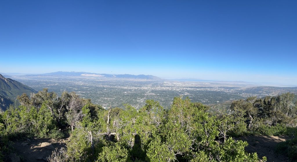
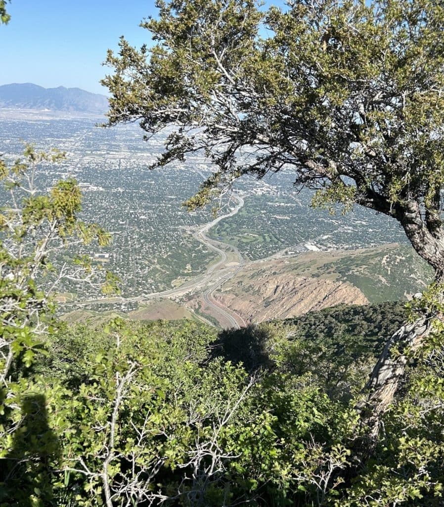
Because the mountain sits on the western edge of the Wasatch Mountains, it’s like having a front-row seat to valley vistas.
The Unshakable Husband and I arrived before 7 a.m. for our summertime hike.
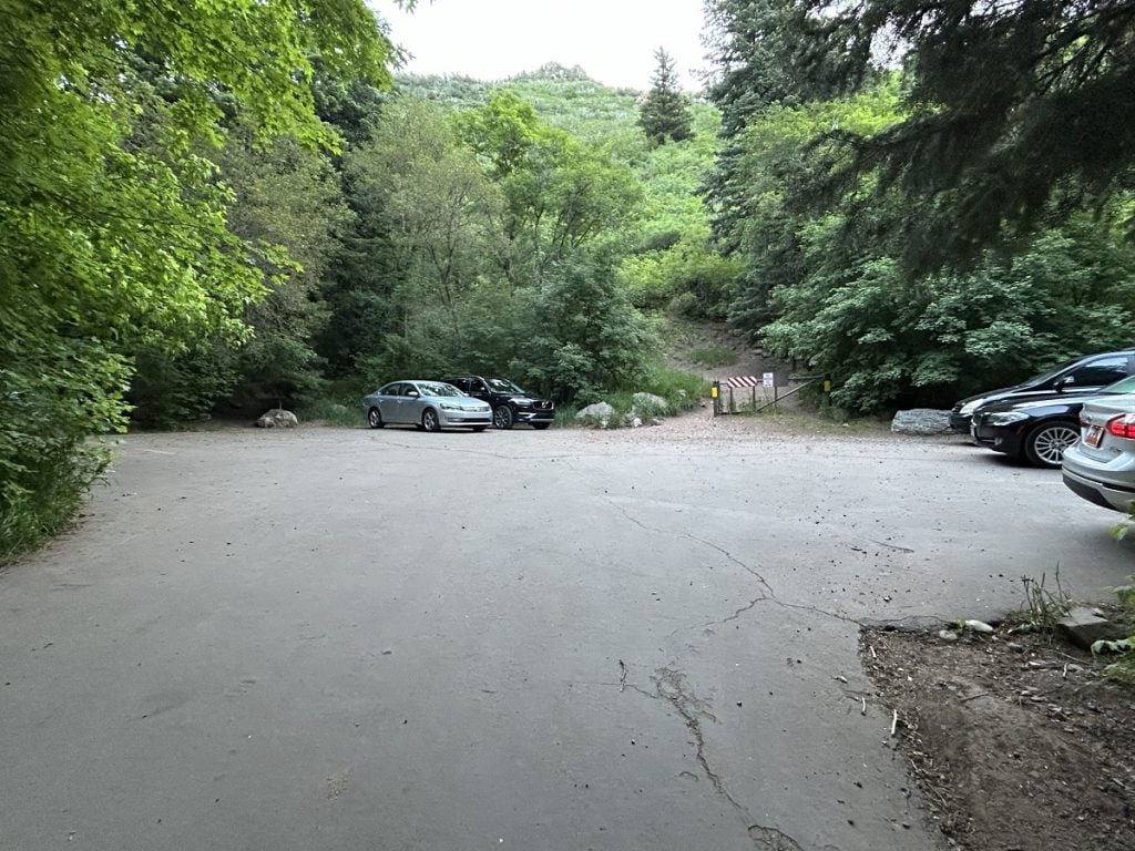
The parking lot at the Grandeur Peak trailhead usually fills up early on nice days, and hikers were already parking along the road.
So that’s what we did.
Parkinson’s hiking tip
Many people with PD are early risers, and not always by choice! If you can get up early, you’ll not only beat crowds but also the most intense heat of the sun. The final portion of the hike has no tree cover.
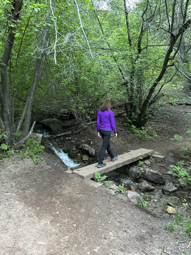
The trail was well maintained. For about the first mile, it followed a creek.
With total elevation gain of 2,660 feet over about three miles, the trail is an uphill grind from the get-go. The first portion and the approach to the summit are the steepest climbs.
A smooth dirt surface began to give way to interrupting rocks and roots, some sharp. The steepness eased eventually, and we came to several switchbacks
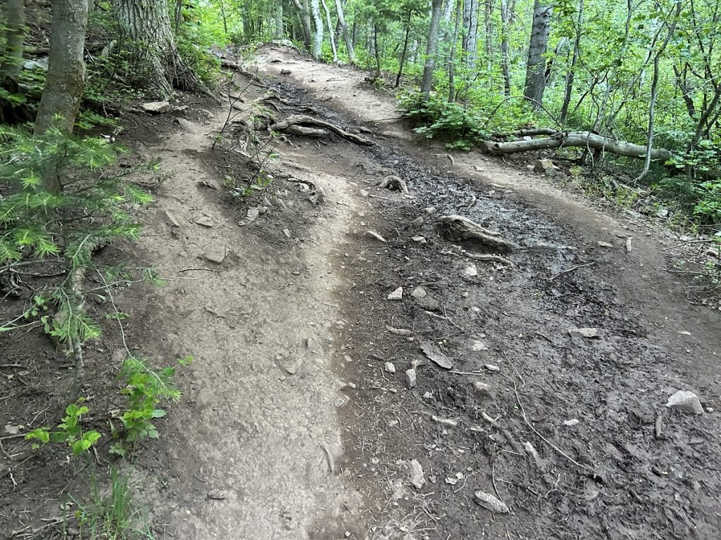
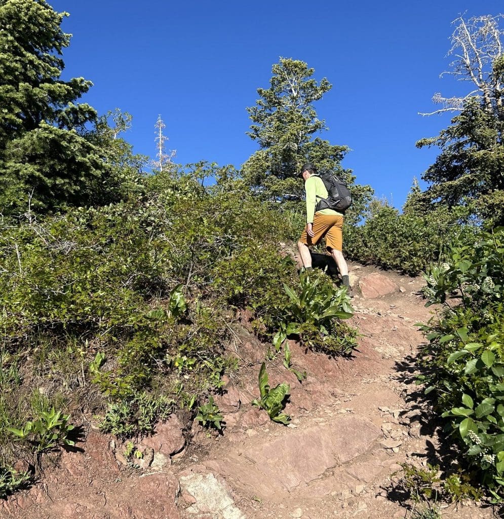
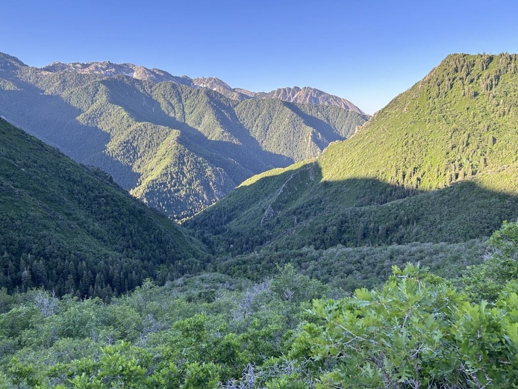
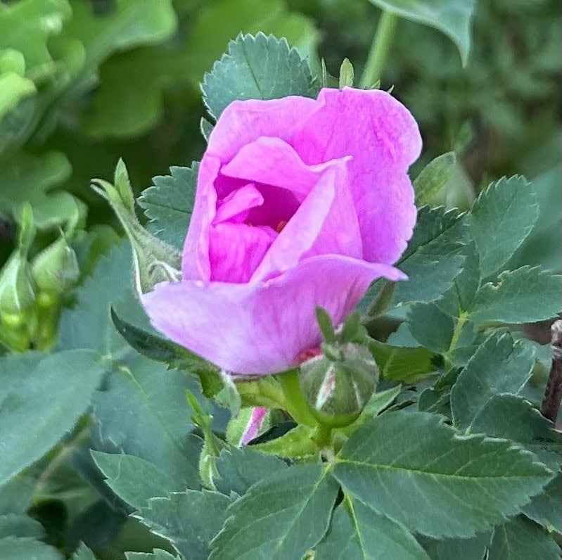
Foliage kept us cool, and wildflowers made the trip more colorful.
I felt a lot of energy despite the high elevation; maybe it was the bright sun and deep blue sky. I was surprised at how fast it seemed we were rising above the valley floor.
We took a couple of breaks before we got out of trees and their accompanying shade.
After that final push, we reached the top before 9 a.m.
Sometimes getting to the top of a mountain seems endless. This time, again I was surprised when we reached Grandeur Peak. I really wasn’t expecting to be there yet.
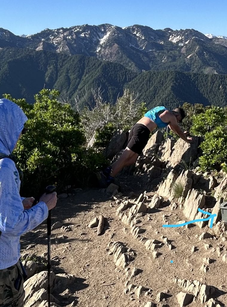
At the top, there’s a smallish area for hikers to relax and sign their name on a register in a box (see arrow, it’s that army green thing). Or, stretching the leg muscles, like this trail runner did, can feel pretty good.
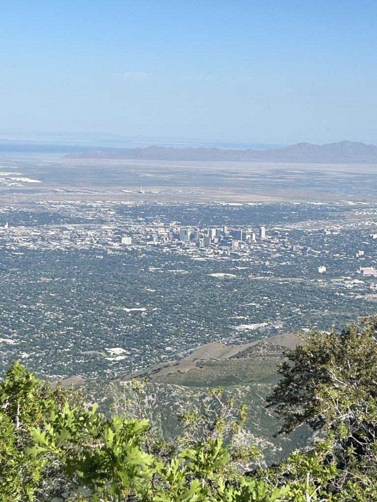
The views of the Salt Lake Valley were magnificent.
Parkinson’s hiking tip
Pesky black flies didn’t seem to mind the tight quarters at the summit. They are a regular feature of this hike, and swatting them away can lead to moments of imbalance if you’re not concentrating. Wearing a hat will help. Repellent doesn’t always work against biting flies.
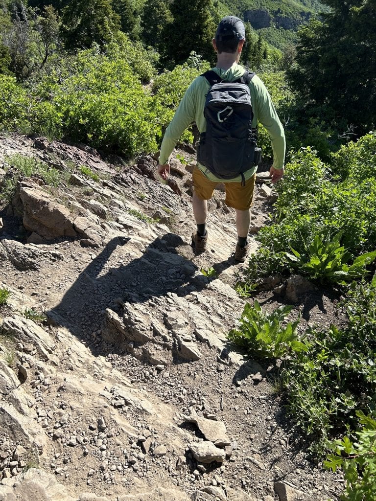
On the way down, we had to watch for rocks that jutted out on the trail that would trip us if we went too fast and were not vigilant.
Parkinson’s hiking tip
For some people with Parkinson’s disease, the ability to keep directions straight weakens. The route to the bottom should be the same as the way up, but we found different trails branching off, especially near the top. Note which direction you came from when you reach the top so that you’ll choose the right trail going down.
We finished our trek in just under four hours.
Hike info
PD difficulty level (see chart): difficult
Distance: 6.5 miles roundtrip
Elevation gain: 2,660 feet
Trailhead location: Just past Church Fork picnic area on Mill Creek Canyon Road
Cell phone service: spotty
Bathrooms: pit toilets near picnic area
Emergency medical support: St. Mark’s Hospital is 15 minutes from the trailhead.
Costs: none
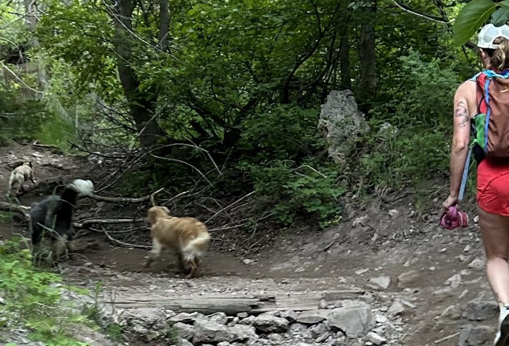
Insider tip: Dogs are allowed off-leash on hiking trails in Millcreek Canyon, but only on odd-numbered days of the month.
In your view, which is easier: bringing a dog on a hike, or bringing children who are, let’s say, over age 7?
Answer in the comments below!



Nice job, as usual. As for Utah hikes, you should try a climb of Big Beacon; it’s at the mouth of Emigration canyon and often (or usually) goes by a different name (which I can’t remember – google it). 😬❤️
Thanks, Dave – I’m always interested in people’s suggestions for my next, great hike!