
Concrete and steel: My first official ‘urban hike’
Some lucky hikers have scenic trails only steps away from their backyards.
But I also know hikers who, when they venture outdoors in their sturdiest shoes, see a very different scene:
“Trails” of endless concrete winding around “mountains” constructed of glass and steel.
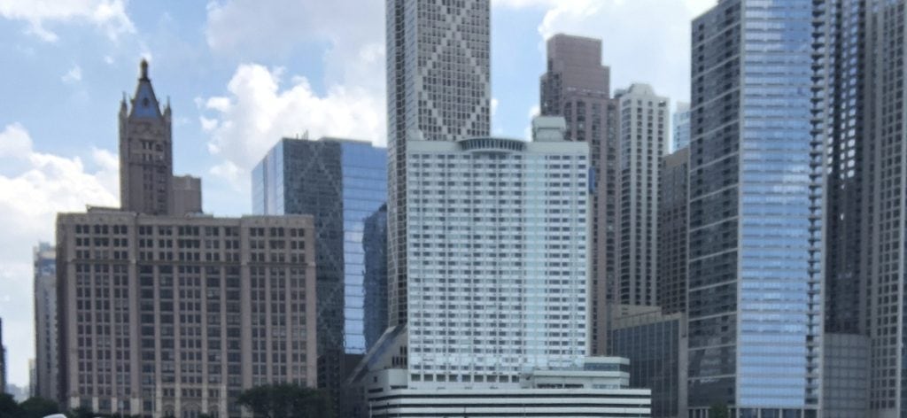
“Wildlife” built of metal and rubber passing in front of them. Flat-topped “resting rocks” made of wooden slats and bolted to the ground.
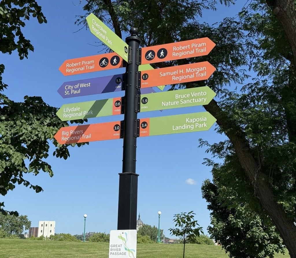
They are urban hikers, and the city is their landscape.
What is urban hiking?
An urban hike is a purposeful, long-distance trek in a city environment. It’s a way for city-dwellers to enjoy outdoor exercise in a couple of hours instead of devoting an entire day or weekend to a hike in a far-away woods.
These adventurers can map out their own route or find one online. Good shoes, weather-appropriate clothing, and a backpack with water are their only essentials.
Parkinson’s hiking tip
Some people might enjoy a solo urban hike, but I always suggest that a person with Parkinson’s find a buddy to take along.
Giving it a try
I decided to be an urban hiker for a day while visiting family in the Midwest. So I grabbed my sister and her 12-year-old daughter, and off we went.
We chose a well-established 4-miler called Harriet Island and Cherokee Bluffs Loop. It had a riverwalk and would take us to the top of the bluffs to a residential neighborhood with views of downtown.
Parking was easy to find. It was a Wednesday morning in July, and despite near-perfect weather, few people were around.
The trail started in the park, which included a wacky slide.
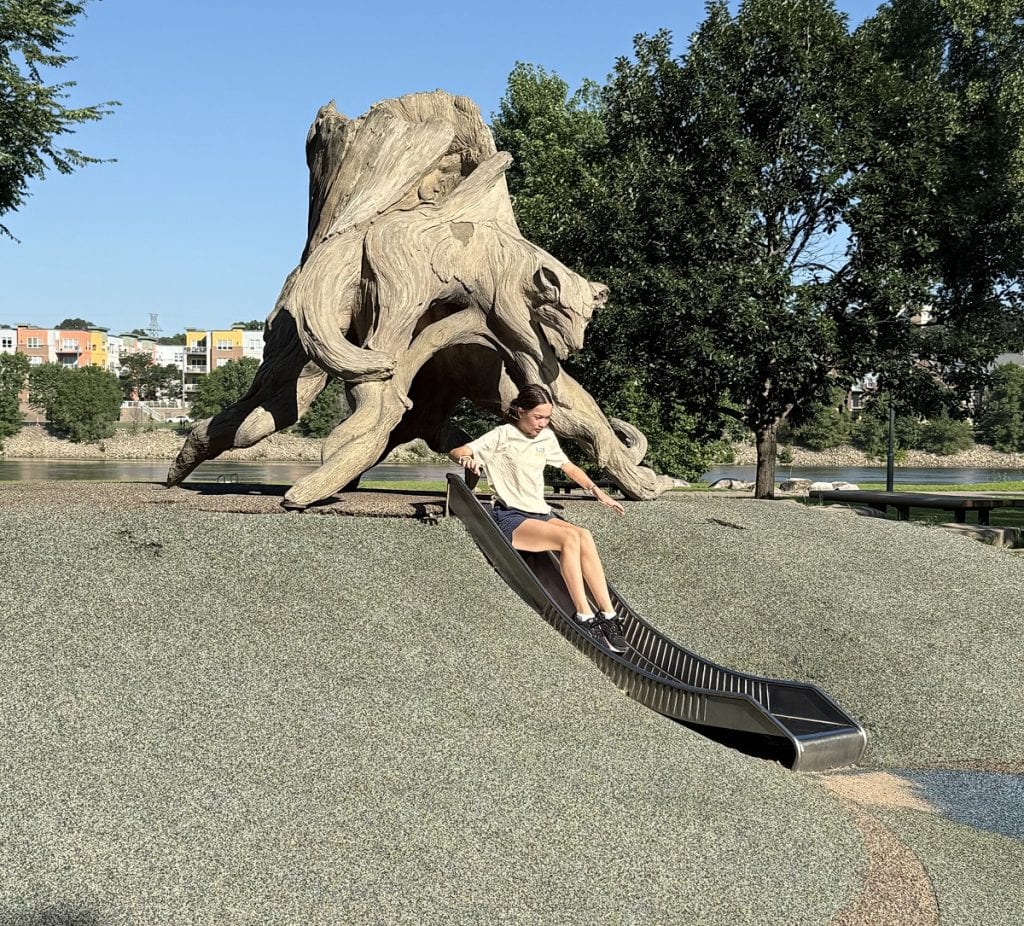
Urban hikes are known for occasional peculiar surprises.
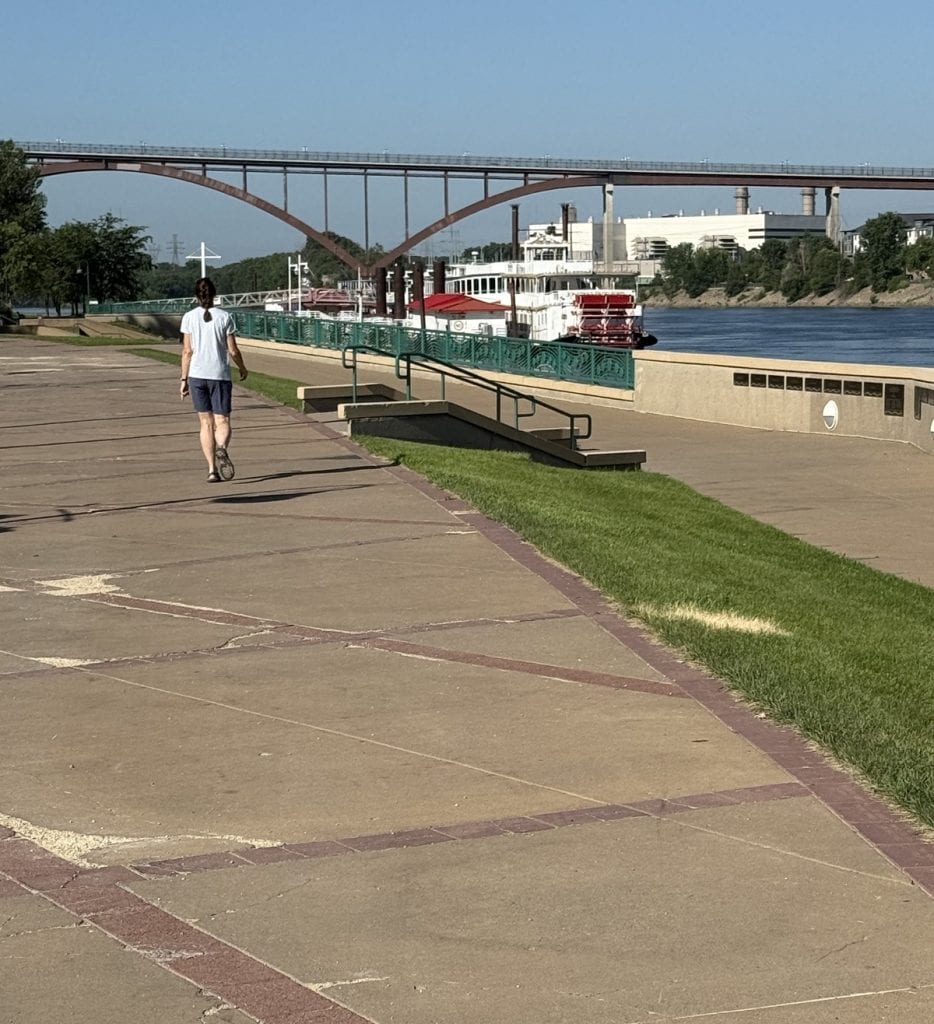
The path took us along the river, but not very far.
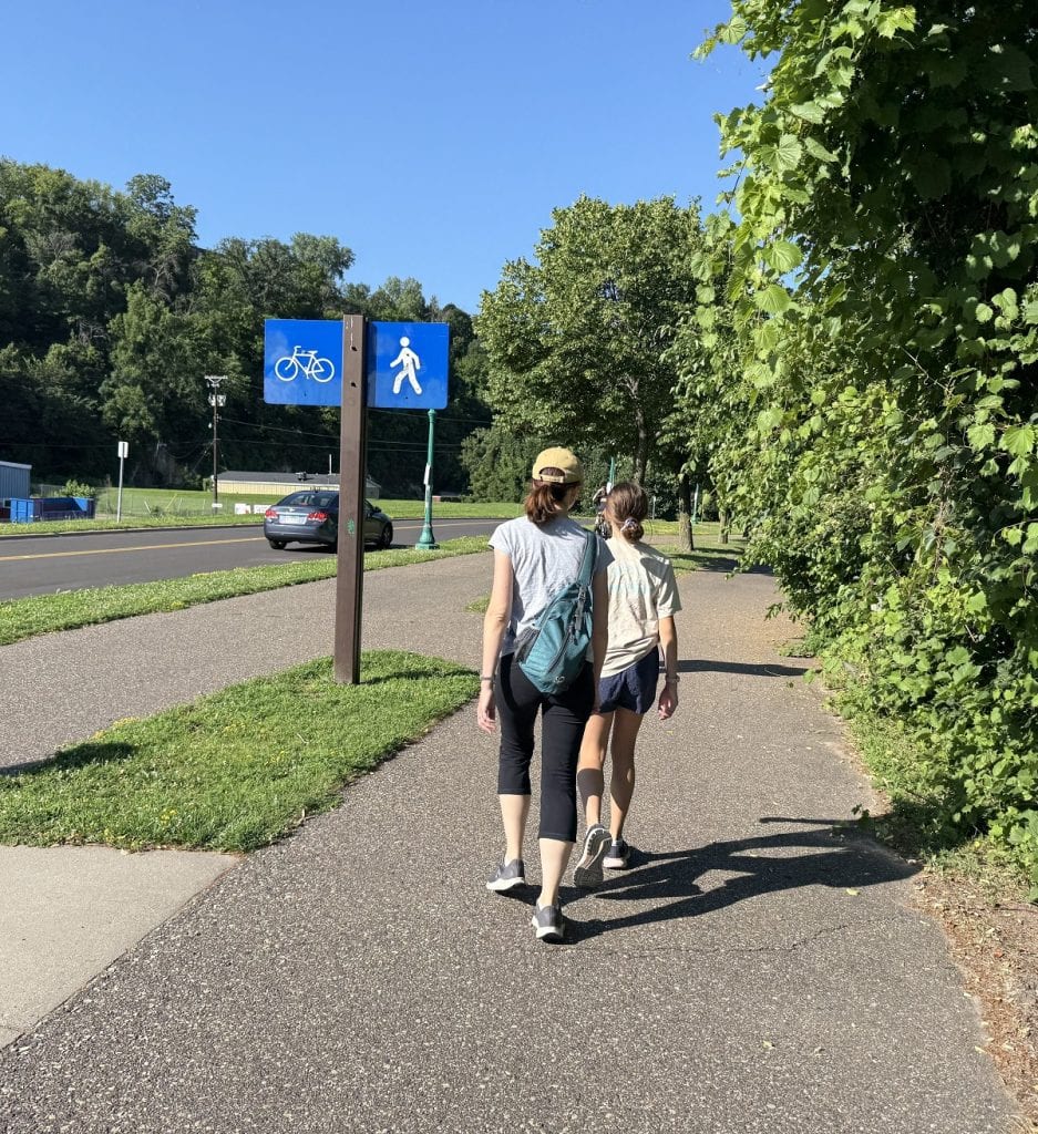
We made our way to a sidewalk along a winding road that cut through a wooded area.
Another surprise! This stone feature had no info.
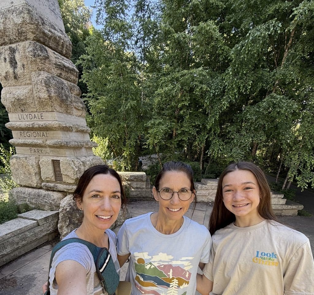
We couldn’t even guess the meaning of it, but it made a nice selfie background.
The three of us carefully crossed the road, following our online trail directions.
Parkinson’s hiking tip
Street curbs are a nemesis to many people with Parkinson’s. I’ve been tripping on them more and more. Watch your step – literally.
Here’s where the trail became less urban. About one-third of the trek was on dirt, which isn’t typical for an urban hike.
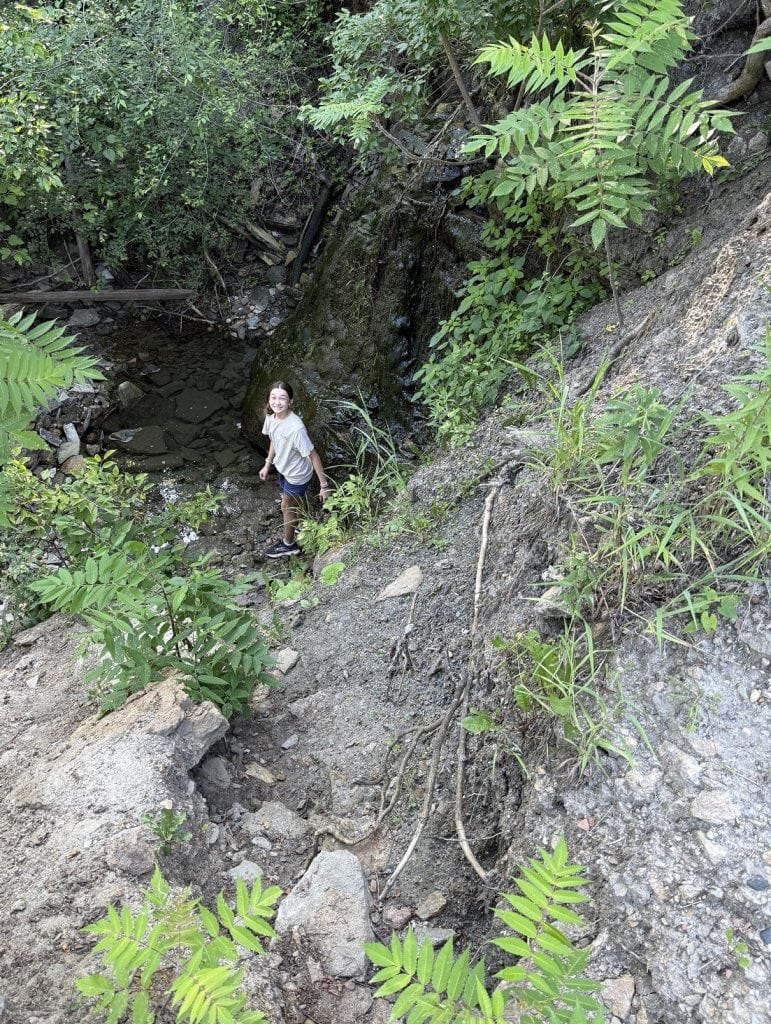
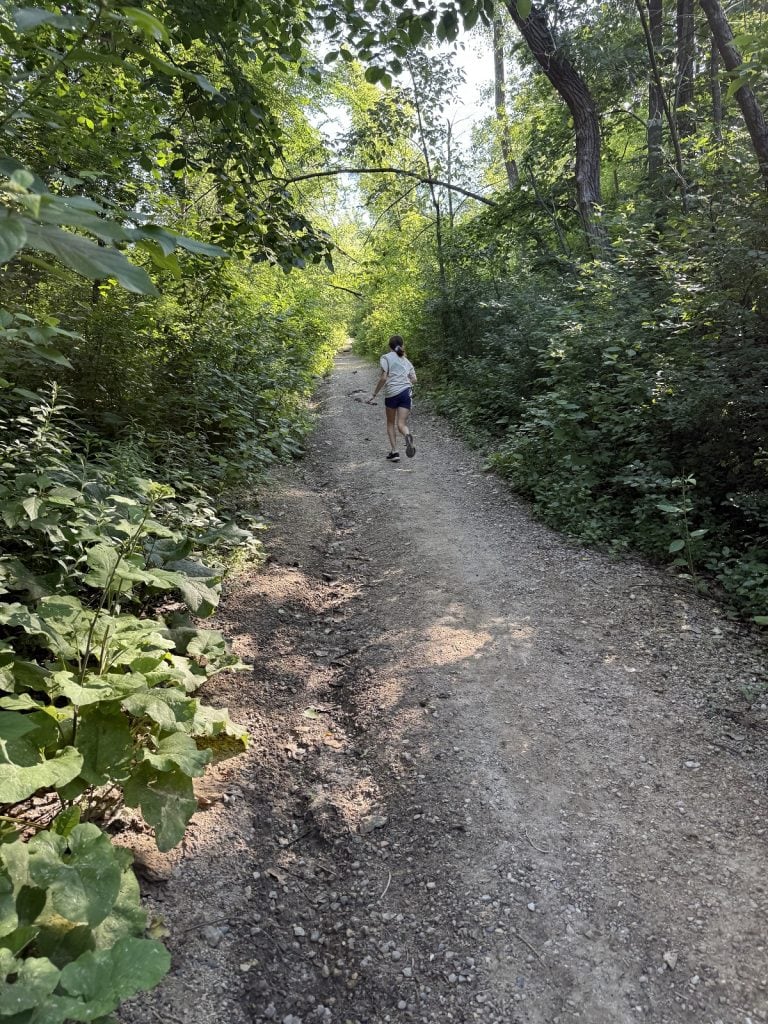
This portion also had a steep incline as we headed for the blufftop.
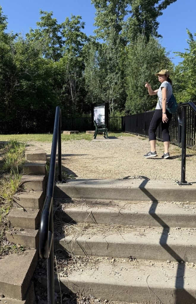
A short concrete staircase brought back the urbanness, ending the climb and leading to our first view.
How blue and clear the sky, how green and lush the trees. Be still my heart!
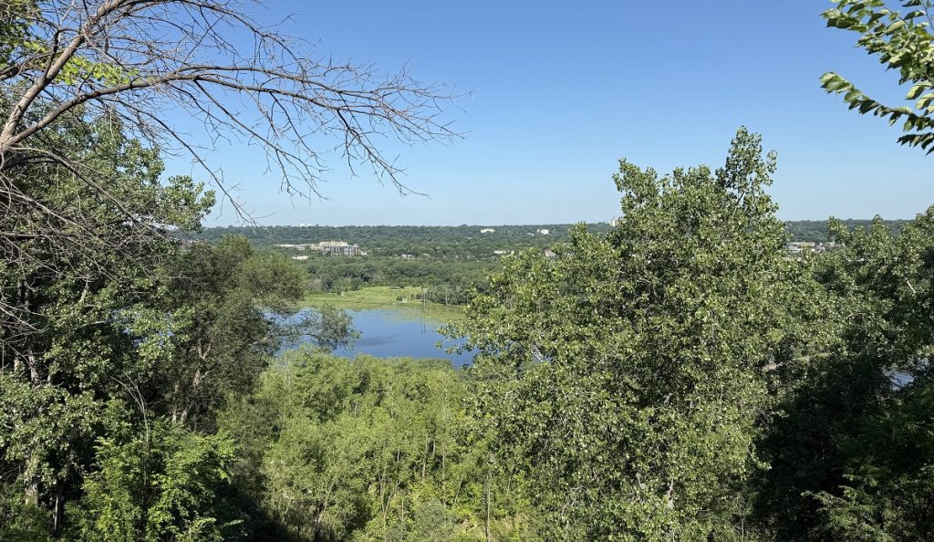
(One’s love of nature can be awakened even in a city proper.)
For the next mile or so, we walked on a paved path, with the cityscape obscured by bushes on our left and some beautiful homes on the right.
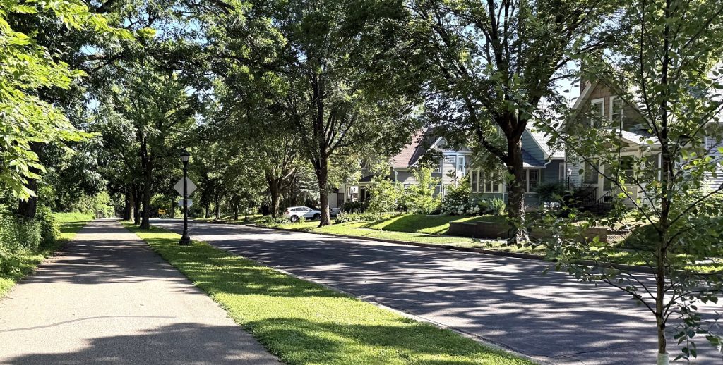
Trying to be respectful of the residents, we kept to our side of the street and dialed down our chatter.
Soon the view opened up again.
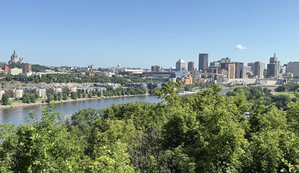
Next, we prepared for the descent.
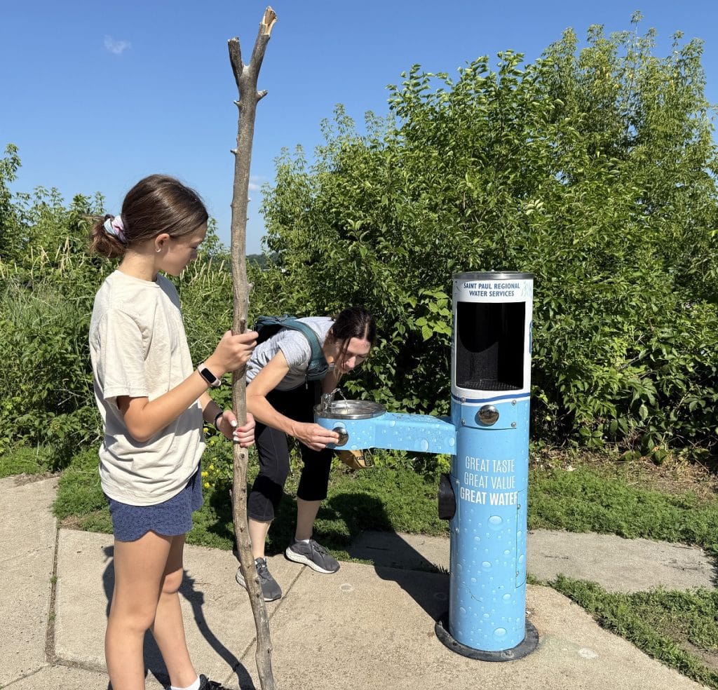
Did this drinking fountain really work? Why yes, it did.
Not sure where the walking stick came from!
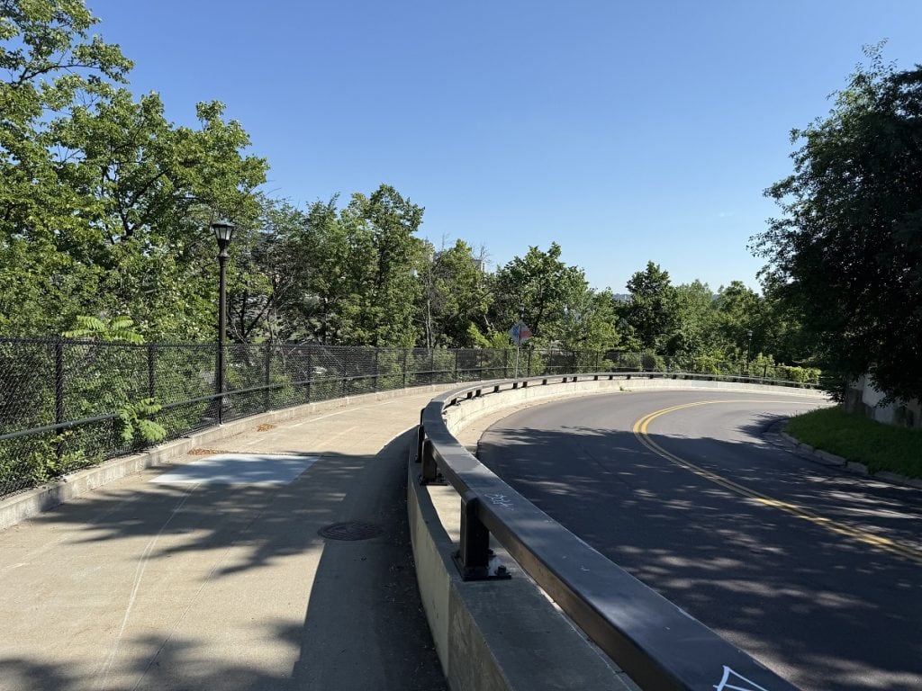
The trail became a sidewalk again and we followed it down as it curved next to a road all the way to the bottom. A few minutes later, we were back to the start.
I purposely left out the name of the city of my first urban hike. I was hoping you’d try to guess. It’s St. Paul, Minnesota.
Did you guess right?
Hike info
PD difficulty level (see chart): moderate
Distance: 4.4 miles in a loop
Elevation gain: about 200 feet
Trailhead location: at parking lot, 49 Harriet Island Road, St. Paul
Cell phone service: good
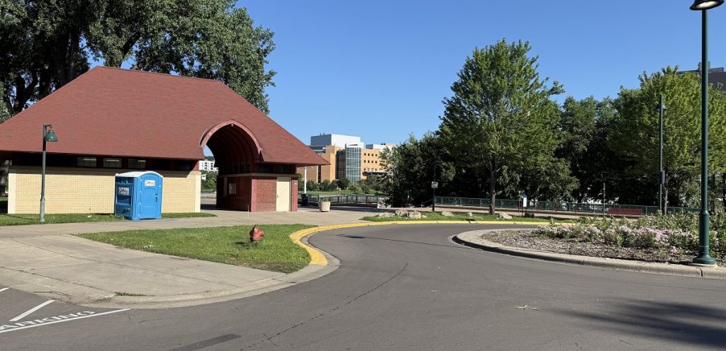
Bathrooms: at start of trail, but they may be locked at times
Emergency medical support: within 10 minutes are Regions and United hospitals
Costs: free
Insider tip: Prepare for the mix of concrete, asphalt, and dirt trails. Hiking shoes with grippy soles might be your best bet – but make sure they are cushioned well for the hard surfaces.
One more question for you, dear readers. I took this photo during our hike. What is it?
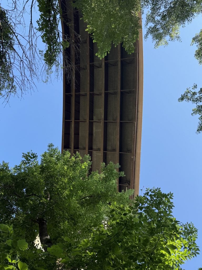
Make your best guess in the comments!


The picture is the bottom of a bridge or road.
Nice work, as usual. Such creativity. 🙂
Cool hike!! Is it a billboard facing towards 35E?
Hmm, is it looking up at a bridge?
I am going to guess the underside of a bridge or walking lane or road.
Some of you are right, others very close!
It’s called the “High Bridge” or “Smith Street Bridge” and stands 160 feet over the Mississippi River. I took the photo from below on the paved path we were on.