Oak Creek Canyon near Sedona has family hike options
Arizona lays claim to being the hottest state in the West. That makes winter generally the best time for hiking.
But the state has mountainous areas that offer some options.
Enter Sedona, Arizona (don’t you love how that rhymes?). At 4,300 feet elevation, this touristy town has two seasons of comfortable hiking weather, roughly from March to May and from September to November. Not too hot and rainy, not too cold and snowy.
I went with family members to Sedona in November for a weekend of camping and hiking. We had our eye on West Fork of Oak Creek Trail No. 108, and the timing turned out nearly perfect.
(Jump to hike stats.) (Watch video.)
Trail 108 also could be doable in summer at the times of the day when the high canyon walls provide shade.
Our group had three adults, four kids under age 10, and a dog on a leash. Mix in a late start (4:15 p.m.), and we knew we would not be able to cover the entire 6.5-mile, out-and-back trek.
But we also knew the trail has some awesome water crossings – 13 in all – and we were sure to hit a few of them before cutting the hike short and turning back.
Water shoes would be our friends.


We followed a sidewalk for about a football field length, then crossed a bridge. That’s when the trail got sandy and soft.
Parkinson’s hiking tip

Sand is no picnic to hike in, but if you stay close to the sides of the trail, sometimes the ground is more solid.
Next we came upon ruins of an old lodge built in 1870. Just across from it was a storage cave for food and grain for the lodge guests.

Apparently, Oak Creek Canyon was a big attraction for nature lovers 150 years ago, as it is today.

The kids stopped to explore both sites.

Soon we were at our first crossing of Oak Creek’s West Fork. The water was low and unthreatening.
We all made it across with no wet and squishy socks to contend with afterward – that was a win.
The trek on the canyon floor had little noticeable change in elevation.

Big rocks littered the trail, which had turned to solid dirt.
While the late-fall weather was nearly perfect, the timing for our hike wasn’t total perfection. We had just missed the peak of the fall color show. But what was left of it was lovely against the red canyon walls.

The “golden hour” before sunset can be amazing. It’s when solar rays cast a luminescent glow over rocks. We could see a lit-up section of a red rock formation in the distance.

The effect was gorgeous but too short-lived!
More water crossings challenged our balancing ability. The kiddos did just fine – maybe because they are lower to the ground. Just a guess.
Parkinson’s hiking tip
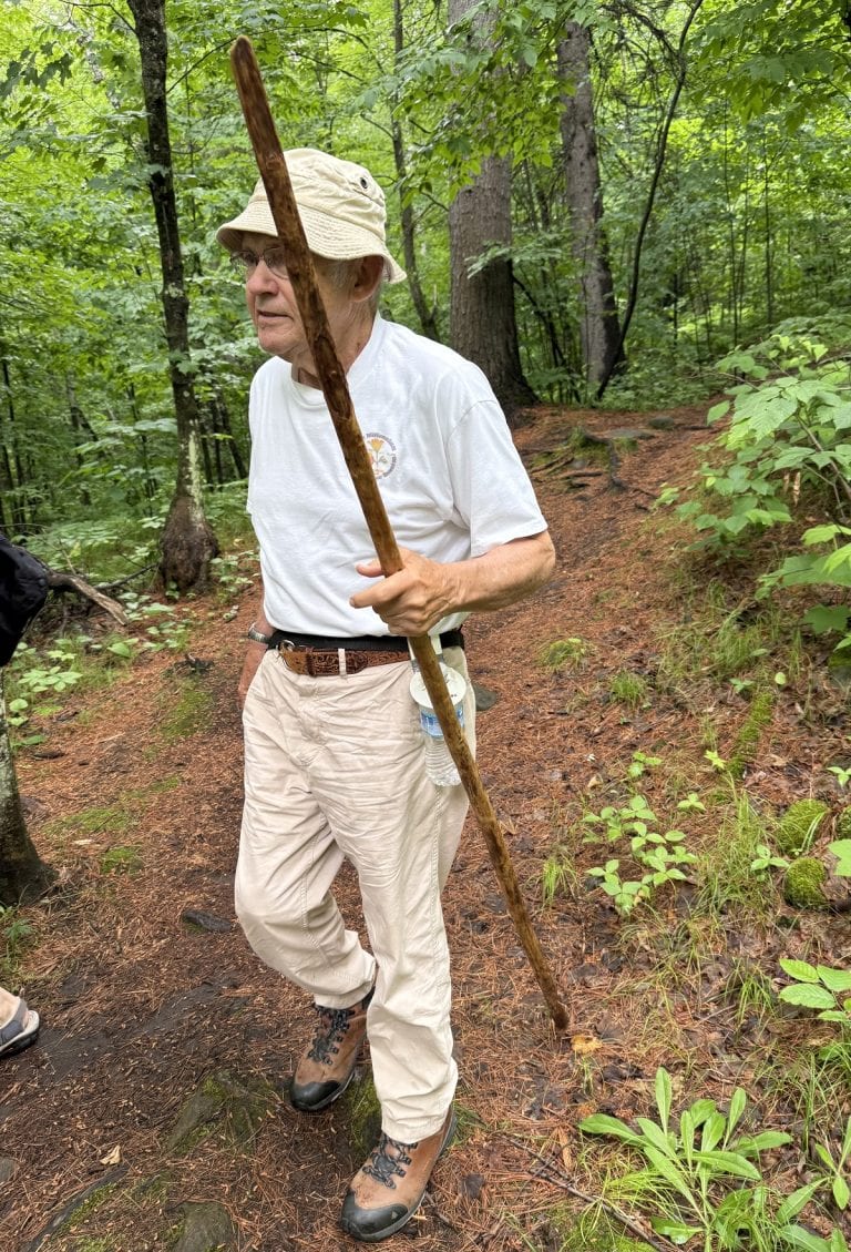
Water crossings can be unnerving for those with Parkinson’s who struggle with balance. But if the water’s not deep or running too fast, they may be worth a try. Make sure you have two hiking poles, step on dry rocks if possible, and avoid using on logs for support – they are more likely to shift.
If you do step in the water your shoes may squish-squish when you walk for a while, which is a little uncomfortable. Carrying extra socks is a good idea.
Dusk hovered over the canyon, and it was time to turn around. The children were saying “How much longer?” more frequently, but honestly that had little to do with our decision to go back. Kids always say that!
(Come to think of it, so do some adults.)

Back we went, past the ruins, through the sand, over the bridge. We made it to the parking lot by 5:45 p.m.

Total time: about 1.5 hours.
Estimated distance: 2.5 total miles, out and back.
Hungry kids: 4
We were definitely ready to heat up some hot dogs and char some marshmallows around a campfire.
Hike info
PD difficulty level (see chart): Moderate (if you do the entire route. Otherwise, easy.)
Distance: 6.5 miles roundtrip
Elevation change: around 300 feet
Trailhead location: off Highway 89A about 10 miles north of Sedona.
Cell phone service: none in canyon
Bathrooms: at trailhead
Emergency medical support: Verde Valley Medical Center is in Cottonwood, 45 minutes away.
Costs: $15 for up to 5 people in a vehicle
Road access to trailhead: Trail starts right from parking lot.

Insider tip: On busy days, traffic backs up on state Route 89A. If that happens, it’s courteous to avoid asking lots of questions at the entrance kiosk. Buy your pass and move on to your parking space. We <3 happy hikers!
(Back to top)


Wow that water looks clear. Potable water in the desert. No wonder it was an attraction.
!!